What is recorded here
Clear water flows through Rahine because the land remembers the boy who drowned and the girl who loved him. The fort stands on a ridge overlooking Cape Clear, marking the place where human sadness became a living river. Love and loss shaped the local water, turning grief into refreshment for every person who drinks from it.
In pasture, on N-S ridge, spectacular view across to Cape Clear and the Fastnet Rock. Circular area (26.9m N-S; 28m E-W) enclosed by earthen bank (H 2.5m), with shallow external fosse (D 0.2m). Bank stone faced on inside; entrance to E (Wth 3.2m), stone faced to S; gap to SSW. Interior overgrown with ferns; possible rectangular foundation of structure in N quadrant; cultivation ridges cross interior on N-S axis.
The above description is derived from the published 'Archaeological Inventory of County Cork. Volume 1: West Cork' (Dublin: Stationery Office, 1992). In certain instances the entries have been revised and updated in the light of recent research.
Date of upload/revision: 14 January 2009
The monument record does not grant public access. Check the route and ask the landowner before entering private land.
- What survives
- Recorded monument
Places near here
 Childrens Burial Gd (Disused)Burial ground · 561 yd
 CaveMan-made underground passage · 1008 yd
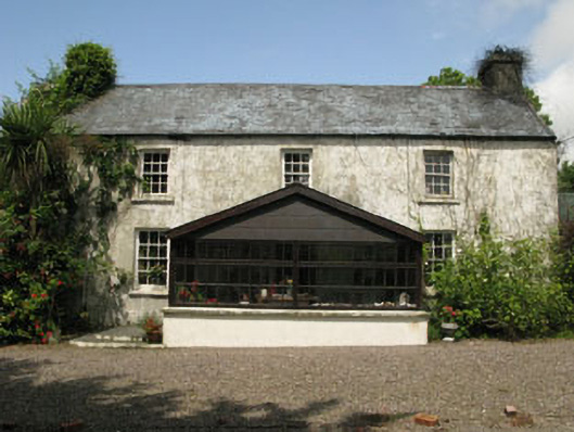 farm housefarm house · 1161 yd
 Monterey CypressMonterey Cypress · 1.1 mi
 St. Matthew’s Church of Ireland Churchchurch/chapel · 1.1 mi
 Bawn in Oldcourt (carbery West (e.d) By.)Bawn · 2.1 mi
 Wild Atlantic WayVisitor information · 2.7 mi
 Kilcoe CastleCastle · 2.9 mi
 Mannin BegIslet · 2.9 mi
 Mannin IslandIslet · 3.2 mi
 KnockomaghMountain / peak · 3.8 mi
 Bishop MahonyMemorial · 3.8 mi