What is recorded here
Ancestral fort in Raherneen, cahernalee: a subcircular earthen ring about 38m by 36m, still standing on a ridge above marshy grassland near the Dooyertha River. Its bank is partly hidden beneath a field wall at the east, while a narrow gap at the southeast marks the entrance. People may have lived there, herded animals or simply claimed the ridge as their own before the land was divided into fields.
Encompassing a ridge in otherwise level marshy grassland, c. 120m to the S of the Dooyertha River. This subcircular rath (38m N-S; 36m E-W), in fair condition, is defined by a bank, which is overlain by a field wall at E. A gap (Wth c. 3m) at SE appears to be original. (McCaffrey 1952, 170, no. 8)
This monument is subject to a preservation order made under the National Monuments Acts 1930 to 2014 (PO no. 8/1987).
Compiled by: Galway Archaeological Survey, UCG
Date of upload: 7 March 2018
The monument record does not grant public access. Check the route and ask the landowner before entering private land.
- What survives
- Recorded monument
Places near here
 Castle (in ruins)Castle, tower house · 416 yd
 Carrowroe Ho.Country house · 1191 yd
 IndicatedFairy fort / earthen ringfort · 1333 yd
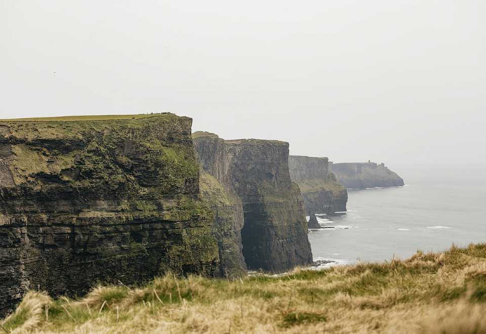 Curraghmore FortFairy fort / earthen ringfort · 1420 yd
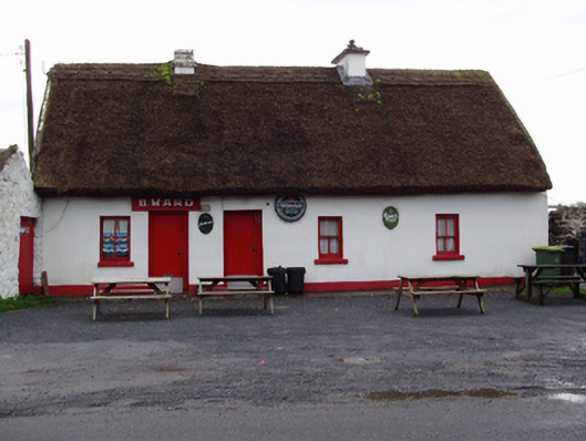 B. Wardhouse · 1455 yd
 MoteCastle, motte and bailey · 1548 yd
 Moyard WoodWood · 2.4 mi
 Turoe StoneHeritage attraction · 3.8 mi
 Athenry AbbeyHeritage attraction · 4.4 mi
 Horse-chestnutHorse-chestnut · 4.7 mi
 First Battle of Athenrybattle · 5.0 mi
 Blake's IslandIslet · 5.6 mi