What is recorded here
Fairy fort in Rahendrick, County Meath: a shallow earthen ring, about twenty-seven metres across, set on a low ridge. The 1836 map still called it a fort, but testing near the site found no human debris. The shape may be natural, yet people saw a fortress and named it. That gap between measurement and belief is the interesting part.
Situated at the summit of a short and low NE-SW ridge in a fairly level landscape. It is depicted as a circular embanked enclosure (ext. diam. c. 35m) with some trees only on the 1836 edition of the OS 6-inch map where it is described as a ‘Fort’, the perimeter of which is clipped by a NE-SW field bank at SE. It is a slightly raised and grass-covered area (diam. 27m NE-SW; 25m NW-SE) defined by a scarp (at S: Wth 2.5m; H 0.5m), but the perimeter is incorporated into a NW-SE field bank at N and a NE-SW road bank at SE. Archaeological testing (20E0392) by D. Finn on the site of a single house c. 10m to the SE on the other side of a public road produced no related material (excavations.ie 2020:781).
The above description is derived from the published 'Archaeological Inventory of County Meath' (Dublin: Stationery Office, 1987). In certain instances the entries have been revised and updated in the light of recent research.
Compiled by: Michael Moore
Date of revision: 22 February 2019
Amended: 14 October 2025
The monument record does not grant public access. Check the route and ask the landowner before entering private land.
- What survives
- Recorded monument
Places near here
 Feegat ForestWood · 1210 yd
 Woodpole Fox CovertWood · 1.0 mi
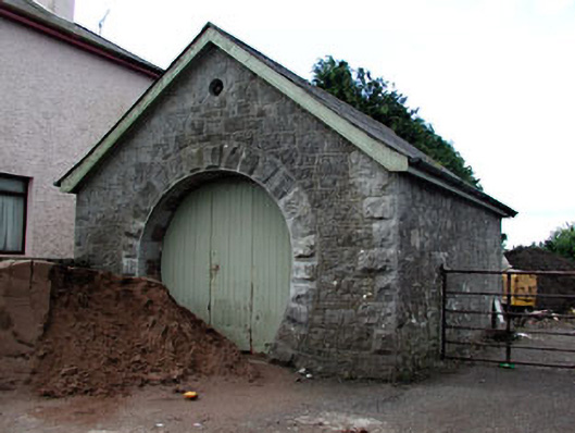 forge/smithyforge/smithy · 1.0 mi
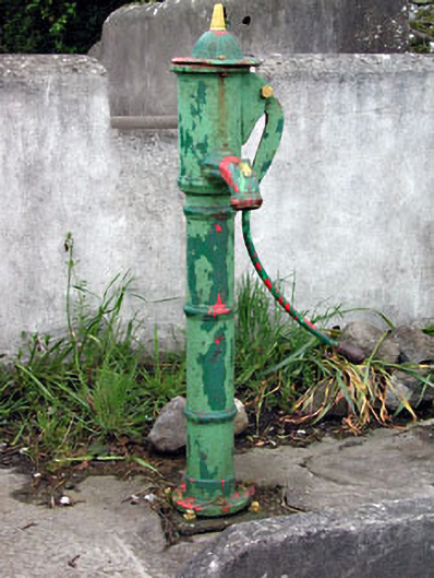 water pumpwater pump · 1.1 mi
 FortsCastle, motte and bailey · 1.3 mi
 Mote of DerverArchaeological place · 1.4 mi
 EnclosureEnclosure, large enclosure · 1.5 mi
 MaperathMountain / peak · 1.6 mi
 MoatCastle, motte and bailey · 1.7 mi
 MountainpoleMountain / peak · 2.8 mi
 The Kieran Flanagan WayMemorial · 3.3 mi
 Great Famine ProjectMemorial · 3.3 mi