
What is recorded here
Situated on a slight rise in a fairly level landscape. This is not depicted on any OS map, but it can be seen on aerial OSI images (2005), Google Earth (24/03/2017) and Digital Globe. This is a large subcircular and slightly raised grass-covered oval area (dims of top 105m E-W; 66m N-S) defined by a scarp (at S: Wth 8m; H 1.2m; at N: Wth 13m; H 0.5m). There is no visible fosse or identifiable original entrance.
The above description is derived from the published 'Archaeological Inventory of County Meath' (Dublin: Stationery Office, 1987). In certain instances the entries have been revised and updated in the light of recent research.
Compiled by: Michael Moore
Date of revision: 22 February 2019
Amended: 15 December 2022
A local fairy fort (ringfort/rath); wider significance not recorded.
The monument record does not grant public access. Check the route and ask the landowner before entering private land.
- What survives
- Recorded monument
Places near here
 MoatCastle, motte and bailey · 298 yd
 MaperathMountain / peak · 750 yd
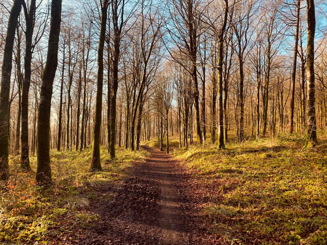 Ballynamona ForestForest · 842 yd
 Enclosure in Rathbrack (kells Upper By., Dulane Par.)Enclosure · 1.0 mi
 The PaleWood · 1.0 mi
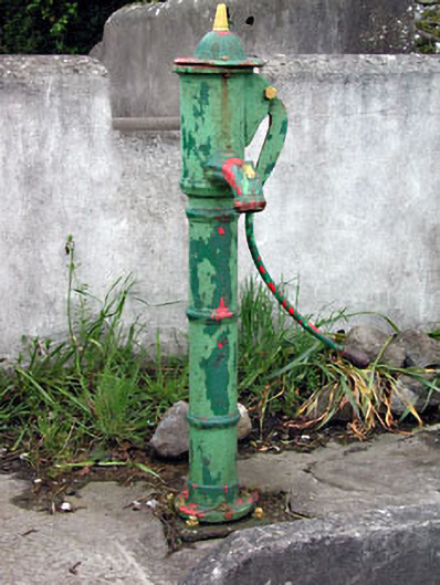 water pumpwater pump · 1.1 mi
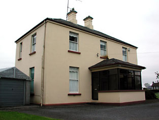 presbytery/parochial/curate's housepresbytery/parochial/curate's house · 1.1 mi
 MountainpoleMountain / peak · 1.3 mi
 CrossCross, High cross · 1.5 mi
 The Kieran Flanagan WayMemorial · 1.9 mi
 Great Famine ProjectMemorial · 2.0 mi
 Moynalty Steam Threshing MuseumMuseum · 2.7 mi
Other information
Photo: Credit not shown in the picture search · Rights wording not checked; contact us if this picture should be removed