What is recorded here
Two conjoined oval forts stood on a Cavan knoll in 1836, but grass and forgotten time have swallowed them. They vanished not with a crash, but a sigh, pulling their stones and stories beneath the soil. What remains is a hollow shape in the land, waiting for someone reckless enough to listen for the heartbeat still trapped inside the green.
Depicted on OS 1836 ed. as two conjoined oval enclosures with the designation 'Forts'. Marked 'Forts (Site of)' on 1876 ed. Situated on a natural knoll in rolling pasture-land. Not visible at ground level.
The above description is derived from the published 'Archaeological Inventory of County Cavan' (Dublin: Stationery Office, 1995). In certain instances the entries have been revised and updated in the light of recent research.
Date of upload/revision: 22 December 2008
The monument record does not grant public access. Check the route and ask the landowner before entering private land.
- What survives
- Recorded monument
Places near here
 Stone CrossCross · 498 yd
 St. Patricks WellsHoly well · 740 yd
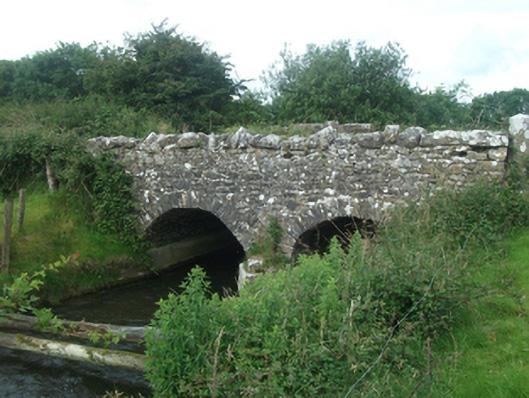 Ballinacree Bridgebridge · 1167 yd
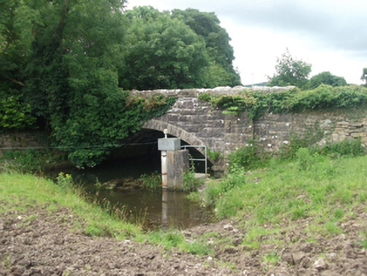 Ballinrink Bridgebridge · 1635 yd
 CastleCastle, motte and bailey · 1684 yd
 Bob's GroveForest · 1.5 mi
 European BeechEuropean Beech · 1.6 mi
 The MoatCastle, motte and bailey · 1.6 mi
 Fennor LowerMountain / peak · 2.6 mi
 Mount FortuneMountain / peak · 2.7 mi
 MullaghmeenMountain / peak · 2.8 mi
 Memorial CrossMemorial · 2.8 mi