What is recorded here
One of two vanished ringforts in Raheenering, named Rath an Iarainn or Rath an Oir, likely hides beneath ordinary farmland today. Both were removed long before modern mapping, leaving behind no marker, no boundary stone, no visible scar. Whatever life happened inside that circle has been erased from the land itself, not merely forgotten.
According to S. O'Mahony (pers. comm) there were formerly two ringforts in this townland, known as 'Rath an Iarainn' and 'Rath an Oir'; both are long since removed. Exact location not known; circular enclosure from aerial photograph (CO087-062---) may be one of these.
The above description is derived from the published 'Archaeological Inventory of County Cork. Volume 2: East and South Cork' (Dublin: Stationery Office, 1994). In certain instances the entries have been revised and updated in the light of recent research.
Date of upload/revision: 14 January 2009
The monument record does not grant public access. Check the route and ask the landowner before entering private land.
- What survives
- Recorded monument
Places near here
 Enclosure in RaheeneringEnclosure · 394 yd
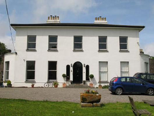 Raffeen Housecountry house · 1590 yd
 Fulacht fia in ShannonparkFulacht fia · 1714 yd
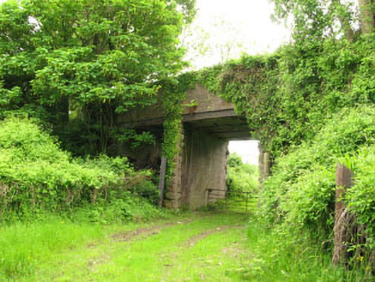 Ballyhemiken Bridgebridge · 1.1 mi
 Pauper's GraveyardArchaeological place · 1.2 mi
 Mulcon ValleyWood · 2.0 mi
 Castle Treasure (Site of)Castle, unclassified · 2.0 mi
 Cogan's CastleCastle · 2.1 mi
 Cork WalksVisitor information · 5.1 mi
 Lavitts QuayMemorial · 5.3 mi
 Mount Hillary - Knightfield LoopWalking route · 27 mi
 IndicatedFairy fort / earthen ringfort · 1.0 mi