What is recorded here
Fairy fort in Raheenagh, County Limerick: a 34m earthen ring with a shallow fosse, two ungated gaps, and thorn-choked edges in level pasture. The measurements are clear; the users are not. It may have been a farmyard, a boundary marker, or a child’s running game before adulthood, but the thorns and broken entrances suggest it stopped being useful long before it stopped being seen.
In level pasture. Circular area (diam. 34m) enclosed by earthen bank (int. H 0.35m; ext. H 1m) with an external fosse (Wth 1m; D 0.5m). Gaps in bank at WSW (Wth 5.8m) and SE (Wth 5.2m), but neither matched by causeway across fosse. Interior level and under pasture except perimeter which is overgrown by thorn bushes, as is enclosing element.
Compiled by: Denis Power
Date of upload: 26 August 2011
The monument record does not grant public access. Check the route and ask the landowner before entering private land.
- What survives
- Recorded monument
Places near here
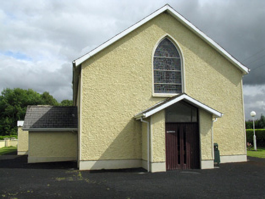 Saint Ita's Catholic Churchchurch/chapel · 664 yd
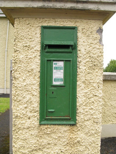 post boxpost box · 670 yd
 Mound in CamasMound · 1288 yd
 Enclosure in Ballintober EastEnclosure · 1565 yd
 Saint Ite's WellSpring · 1.5 mi
 Dotted outlineBawn · 1.6 mi
 Ballagh MountainMountain / peak · 2.1 mi
 Glenduff CastleCastle, tower house · 2.6 mi
 ToberhoranSpring · 4.4 mi
 Mullaghareirk - Banane LoopWalking route · 4.7 mi
 Rock HillMountain / peak · 5.5 mi
 Limerick GreenwayWalking route · 6.9 mi