What is recorded here
Half a metre of earth and a metre-wide ditch enclose a forty-metre circle in Raheenagh pasture, yet the gap faces east-northeast as if inviting entry rather than keeping invaders out. The interior has turned marshy and choked with overgrowth, transforming a human stronghold into a drowned green chamber where water collects and light fails. People called it a fairy fort because the shape stopped behaving like a farm or fortress; it became a threshold. What the ring kept may have been life itself, held back from the field until someone chose to step through the gap.
In level pasture. Circular area (diam. c. 40m) enclosed by an earthen bank (int. H 0.65m; ext. H 1.3m) with external fosse (Wth 1m; D 0.5m). Gap (Wth 3m) in bank at ENE. Interior level, marshy and partially covered by overgrowth.
Compiled by: Denis Power
Date of upload: 26 August 2011
The monument record does not grant public access. Check the route and ask the landowner before entering private land.
- What survives
- Recorded monument
Places near here
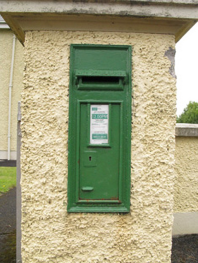 post boxpost box · 344 yd
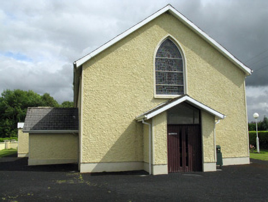 Saint Ita's Catholic Churchchurch/chapel · 346 yd
 Mound in CamasMound · 1563 yd
 Enclosure in Ballintober EastEnclosure · 1.1 mi
 Saint Ite's WellSpring · 1.4 mi
 Dotted outlineBawn · 1.5 mi
 Ballagh MountainMountain / peak · 1.9 mi
 Glenduff CastleCastle, tower house · 2.4 mi
 Mullaghareirk - Banane LoopWalking route · 4.5 mi
 ToberhoranSpring · 4.6 mi
 Rock HillMountain / peak · 5.3 mi
 Limerick GreenwayWalking route · 7.0 mi