What is recorded here
Situated on a level area, on a NW-facing slope of a prominent hill, in pasture, with good views to SW, NW and NE. Monument described in the 1970s as a roughly oval-shaped area (dims. 33.7m N-S; 28m E-W) enclosed by an inner bank, an intervening fosse and an outer bank. The monument has been truncated across the E sector by a field boundary running NNE-SSW. There is a slight trace of a levelled inner bank from NE-E-SSE on the opposite side of the field boundary. The remains of the inner bank are only visible from SSE-W-N-NE. An intervening fosse and an earth and stone outer bank are visible from SW-WSW. The original entrance is not visible. The interior is uneven and has a gentle W-facing slope with rocky outcrop visible. A flat-topped, steep-sided bank running NE-SW across the perimeter at S extends 11m into the interior. There is a complex of slight earth and stone banks on the exterior of monument to SW and N.
Compiled by Alison McQueen, Vera Rahilly and Caimin O’Brien.
Date of upload: 27 August 2019
The monument record does not grant public access. Check the route and ask the landowner before entering private land.
- What survives
- Recorded monument
Places near here
 OutlinedEnclosure, large enclosure · 349 yd
 gates/railings/wallsgates/railings/walls · 582 yd
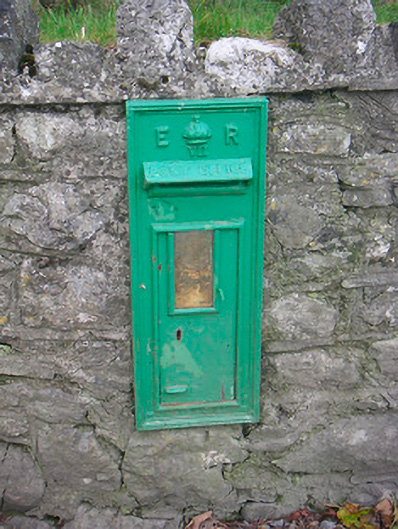 post boxpost box · 1421 yd
 CastleCastle, unclassified · 1.0 mi
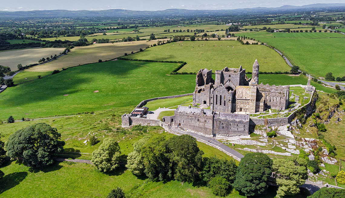 Partially hachuredFairy fort / earthen ringfort · 1.2 mi
 Japanese pagoda treeJapanese pagoda tree · 1.9 mi
 Bawn in ClareBawn · 1.9 mi
 Dún na Sí Heritage CentreMuseum · 4.3 mi
 Dún na SíMuseum · 4.4 mi
 Charles BianconiMemorial · 4.4 mi
 Moate HillMountain / peak · 4.5 mi
 Noughaval CemeteryArchaeological place · 6.2 mi