What is recorded here
Fairy forts hide in plain sight, wearing pasture and forgetting as cloaks. This one in Raheen lost much of its ring to a concrete passage, yet a scarped edge still marks the northern curve. The builders made a small circle on a hill slope, perhaps for a home, a shrine or a boundary between worlds. Men and horses have crossed that boundary ever since, pressing the fort flatter while its shape resists complete erasure.
In pasture, on NW-facing slope below brow of hill. Monument, depicted as roughly circular embanked enclosure (diam. c. 20m) on 1923 OS 6-inch map, has been levelled. However, it is still evident as scarped edge (H 0.4m; Wth 4.45m) NNW->NE, truncated at either end by concrete passage (Wth 3.8m) travelling on E-W axis; no trace of enclosure evident on S side of passage.
Compiled by: Denis Power
Date of upload: 26 August 2011
The monument record does not grant public access. Check the route and ask the landowner before entering private land.
- What survives
- Recorded monument
Places near here
 Lissamota CastleCastle · 1058 yd
 Burial GroundBurial ground · 1419 yd
 Dromard Housecountry house · 1529 yd
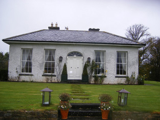 Fort William Housecountry house · 1.1 mi
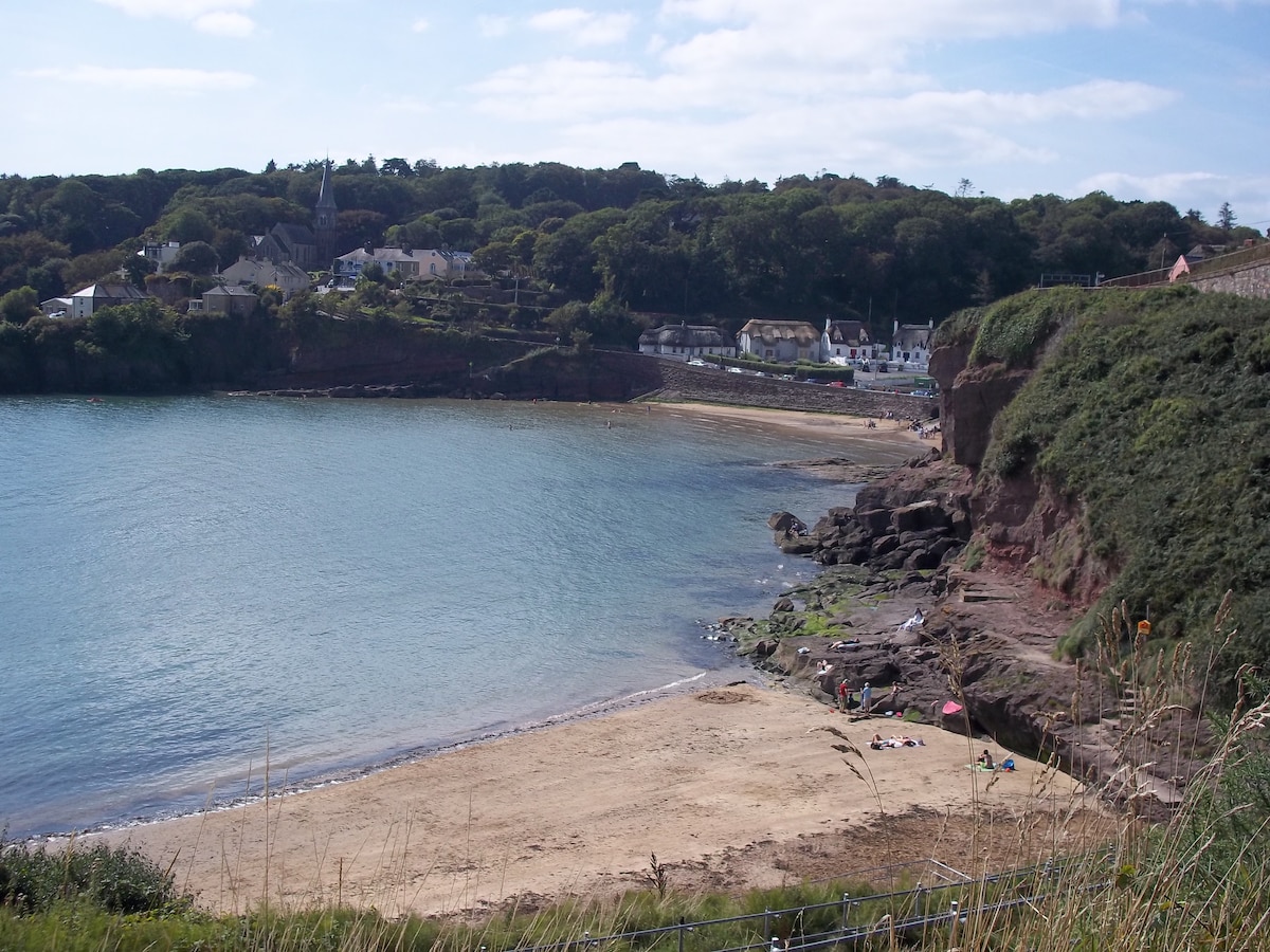 Enclosure in KilleaEnclosure · 1.1 mi
 Castle (in ruins)Castle, tower house · 1.3 mi
 Flat cemetery in Kiltenan SouthFlat cemetery · 2.2 mi
 Famine stoneMemorial · 2.7 mi
 KnockfeerinaMountain / peak · 3.1 mi
 LaghtpatrickSpring · 3.7 mi
 Kinnoor WellSpring · 3.7 mi
 European ashEuropean ash · 3.9 mi