What is recorded here
Mortons and others lived inside the oval bank before modern fields cut through it. People may have built the fort to keep out rain, thieves or the dark, and the fairies took it over later when it became empty. The ditch has filled with soil, but the ridge still marks the shape of a home that refused to disappear.
Raised oval area (int. dims. 28.5m E-W; 21.5m N-S) enclosed by a low earthen bank and infilled external fosse, the outline of which (Wth 2.3m) is still nonetheless identifiable. Site is divided into two unequal portions by a modern field boundary running NW-SE. Original entrance may have been at SE.
The above description is derived from the published 'Archaeological Inventory of County Cavan' (Dublin: Stationery Office, 1995). In certain instances the entries have been revised and updated in the light of recent research.
Date of upload/revision: 22 December 2008
The monument record does not grant public access. Check the route and ask the landowner before entering private land.
- What survives
- Recorded monument
Places near here
 Cross FortsArchaeological place · 801 yd
 European BeechEuropean Beech · 1572 yd
 IndicatedFairy fort / earthen ringfort · 1.0 mi
 St Mary's Roman Catholic Churchchurch/chapel · 1.4 mi
 Drumkeen House WoodlandWood · 1.4 mi
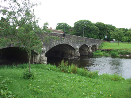 Derrygarra UpperMountain / peak · 1.4 mi
 Saint Aidan's Catholic Churchchurch/chapel · 1.6 mi
 BillisMountain / peak · 1.6 mi
 Giants GraveArchaeological place · 1.8 mi
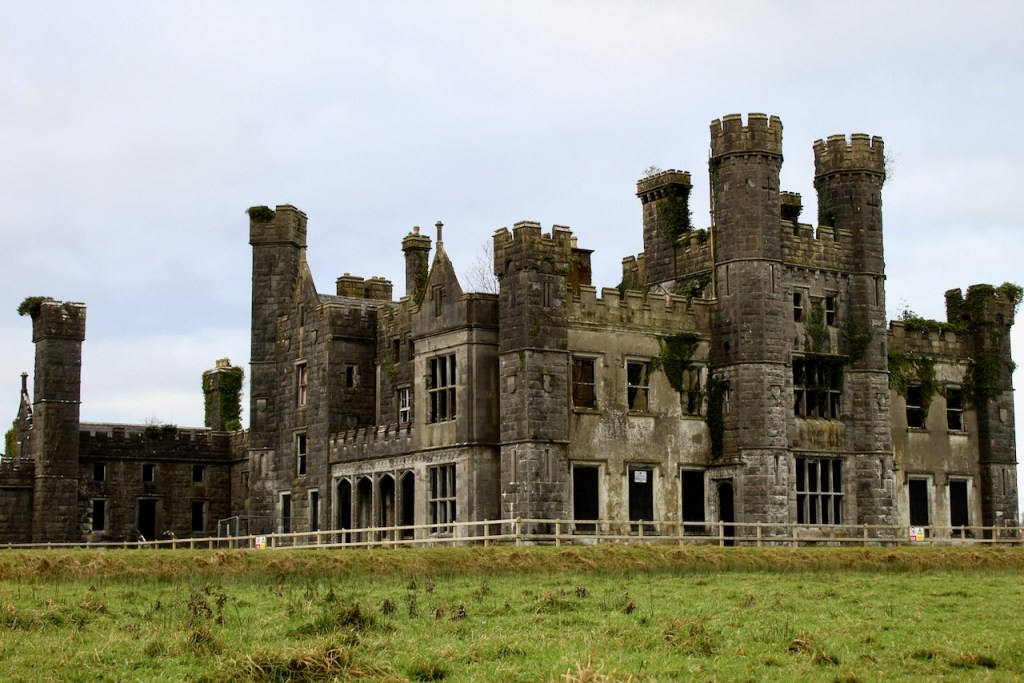 CastleCastle, unclassified · 1.9 mi
 Garden IsleIslet · 2.0 mi
 Ballyhaise Ho.Castle, unclassified · 2.0 mi