What is recorded here
No visible entrance, no ditch, no break in the wall that I can find. The boundary is a scarp, a wall and hedge on one side, grass on the other, and the whole circle sits at the top of a ridge as if placed there to be seen before it could be entered. A fort without a door is either a trap or a temple. I would rather it be a temple.
Situated at the summit of, and towards the N end of a N-S drumlin ridge. This rath is depicted on McCrea’s map of County Monaghan (1793) and on the 1834 and 1907 editions of the OS 6-inch map. It is a raised, circular grass-covered area (diam. 46m E-W; 43.5m N-S) defined by a scarp (at S: Wth 2.9m; H 3m) with a wall and hedge on top NE-S-W that is reduced to a low, grass-covered scarp (at NW: H 0.4m) elsewhere. There is no visible fosse or identifiable original entrance.
The above description is derived from the published 'Archaeological Inventory of County Monaghan' (Dublin: Stationery Office, 1986). In certain instances the entries have been revised and updated in the light of recent research.
Revised by: Michael Moore
Date of revision: 8 May 2018
The monument record does not grant public access. Check the route and ask the landowner before entering private land.
- What survives
- Recorded monument
Places near here
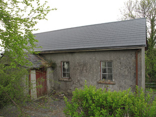 Ture National Schoolschool · 764 yd
 Saint Mary's Catholic Churchchurch/chapel · 793 yd
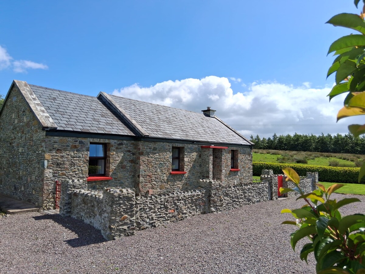 KilderryBurial ground · 944 yd
 IndicatedCrannog · 1158 yd
 European YewEuropean Yew · 1178 yd
 Mullaghmore WoodWood · 1.3 mi
 Ulster Canal Stores Visitor CentreHeritage attraction · 2.0 mi
 Abbey RuinsHeritage attraction · 2.0 mi
 Bawn in CrossmoyleBawn · 2.1 mi
 CastleCastle, motte and bailey · 2.1 mi
 Saint John's WellSpring · 2.2 mi
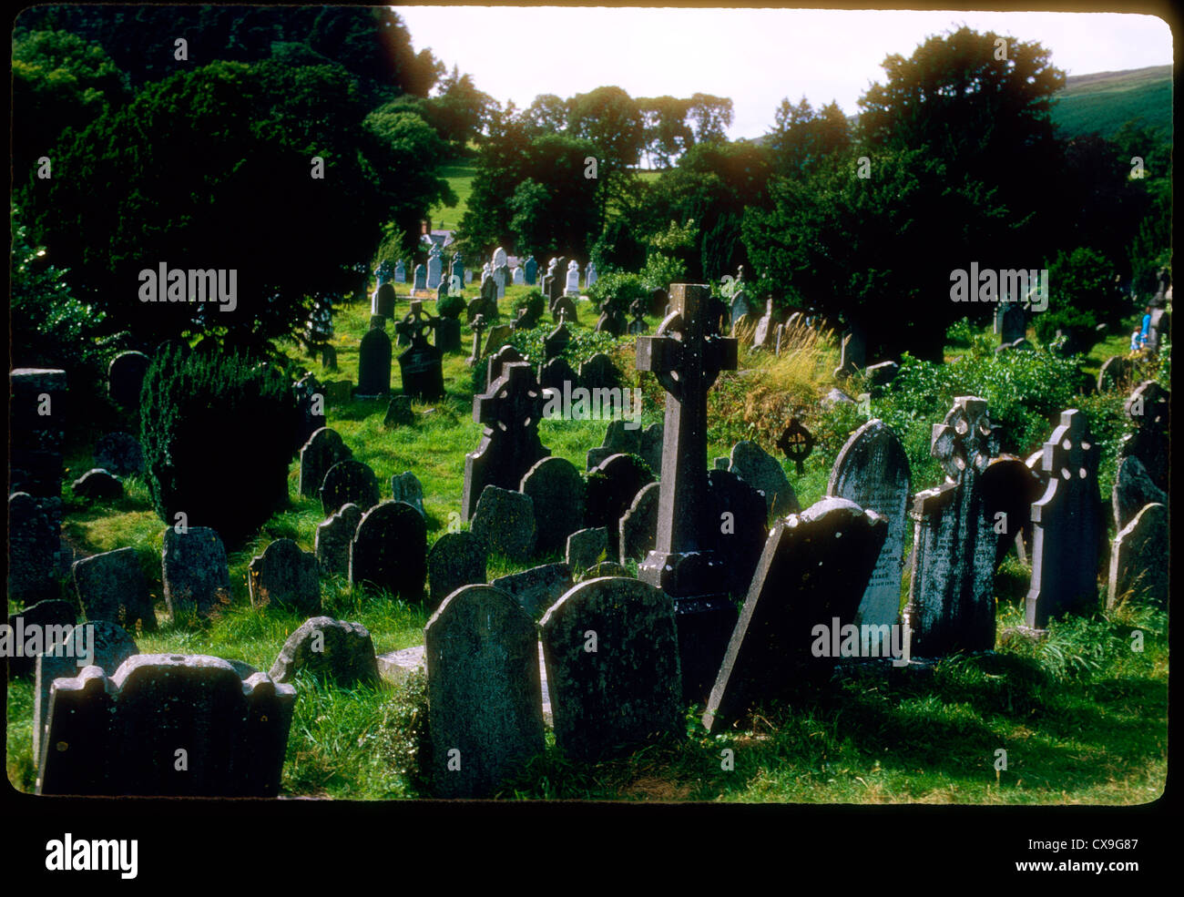 Clontivrin Grave YardArchaeological place · 2.7 mi