What is recorded here
Fairy fort in Powerstown, County Cork: a 28m earthen ring with double banks, central ditch, southern entrance, and conifers growing inside the saucer-shaped hollow. People may have lived there, excluded others, marked territory, or abandoned it when the land changed; the names and shapes preserve more than certainty.
In pasture, on S-facing slope. Circular area (28m NE-SW) enclosed by two earthen banks with intervening fosse; shallow external fosse to E and W. Low inner bank (int. H 0.2m; ext. H 1.4m to base of fosse) SSW->NW; scarp elsewhere. Outer bank substantial (ext. H 1.5m). Entrance (Wth c. 3m) to S. Interior saucer-shaped, slopes down to SW; planted with coniferous trees, similar to banks.
The above description is derived from the published 'Archaeological Inventory of County Cork. Volume 4: North Cork' (Dublin: Stationery Office, 2000). In certain instances the entries have been revised and updated in the light of recent research.
Date of upload/revision: 14 January 2009
The monument record does not grant public access. Check the route and ask the landowner before entering private land.
- What survives
- Recorded monument
Places near here
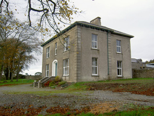 Powerstown Househouse · 248 yd
 Johnsgrove Househouse · 770 yd
 Fulacht fia in Dromdeer WestFulacht fia · 1.1 mi
 IndicatedEnclosure · 1.2 mi
 Scots PineScots Pine · 1.9 mi
 Pedunculate OakPedunculate Oak · 2.0 mi
 Doneraile HouseHeritage attraction · 2.5 mi
 Shanballymore Castle (Site of)Castle, unclassified · 3.2 mi
 Anne's Grove GardensHeritage attraction · 3.3 mi
 Ruane Castle (Site of)Castle, unclassified · 3.8 mi
 In loving memory of Elvis O'DonoghueMemorial · 6.2 mi
 Mallow River TrailVisitor information · 6.2 mi