What is recorded here
Fairy fort in Poulleagh: a 30 m earthen ring on a gentle north-facing slope, its bank still standing highest from south to west-northwest and broken only at the north-west entrance. Inside, a shallow saucer of ferns and thsoles rises above the surrounding tillage, with a low three-metre platform projecting from the south-west bank. People may have stood on that ledge to watch weather come off the slope, or simply marked a boundary the land still remembers.
In tillage, on gentle N-facing slope. Circular area (diam. c. 30m) enclosed by earthen bank (int. H 1.3m; ext. H 1.5m). Bank survives best S->WNW, where overgrown with bushes; low and eroded elsewhere. Break in bank to NW. Interior raised and saucer-shaped; overgrown with ferns and thistles; in SW quadrant, platform (H 0.4m) extends from bank for c. 1m into interior and is 3m L. Surrounding field fences removed.
The above description is derived from the published 'Archaeological Inventory of County Cork. Volume 4: North Cork' (Dublin: Stationery Office, 2000). In certain instances the entries have been revised and updated in the light of recent research.
Date of upload/revision: 14 January 2009
The monument record does not grant public access. Check the route and ask the landowner before entering private land.
- What survives
- Recorded monument
Places near here
 gates/railings/wallsgates/railings/walls · 668 yd
 Ruane Castle (Site of)Castle, unclassified · 1047 yd
 Cist in Shanballymore UpperCist · 1400 yd
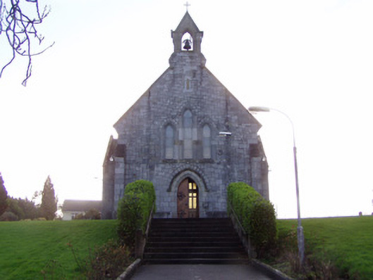 Church of Christ the Kingchurch/chapel · 1433 yd
 TumulusCairn, unclassified · 1663 yd
 Shanballymore Castle (Site of)Castle, unclassified · 1.2 mi
 Horse Field WoodForest · 1.5 mi
 North Meadow WoodForest · 1.6 mi
 Anne's Grove GardensHeritage attraction · 2.0 mi
 Flat cemetery in Ballyenahan NorthFlat cemetery · 2.3 mi
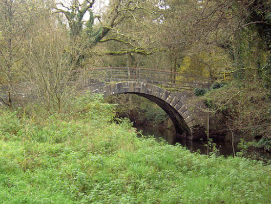 Doneraile Courtfoot bridge · 4.7 mi
 Coolfree MountainMountain / peak · 4.9 mi