What is recorded here
Morgallion Valley, County Meath. A slight earthen bank and shallow fosse still mark a subcircular grass-covered area beside a low stream, large enough for a small dwelling or a place of ritual memory. The original entrance has vanished beneath grass and change, but the circle remains: a quiet invitation to imagine who lived there, what they protected, and why the land kept the shape.
Situated in a low-lying position on the N bank of an E-W stream. This is a subcircular grass-covered area (dims 34m NNW-SSE; 30m ENE-WSW) defined by a slight earthen bank (at NNW: Wth of base 6m; int. H 0.6m; ext. H 1.7m) and hedge with an outer fosse (at NNW: Wth of base 1.3m; ext. D 0.5m) SSW-N-E and by a low scarp elsewhere, with an outer drain ESE-S. There is a modern entrance at NNE but the original entrance is not identified. The possible rath (ME006-023----) is c. 100m to the WSW, on the other side of the stream.
The above description is derived from the published 'Archaeological Inventory of County Meath' (Dublin: Stationery Office, 1987). In certain instances the entries have been revised and updated in the light of recent research.
Revised by: Michael Moore
Date of revision: 26 October 2018
The monument record does not grant public access. Check the route and ask the landowner before entering private land.
- What survives
- Recorded monument
Places near here
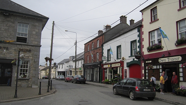 IndicatedFairy fort / earthen ringfort · 1371 yd
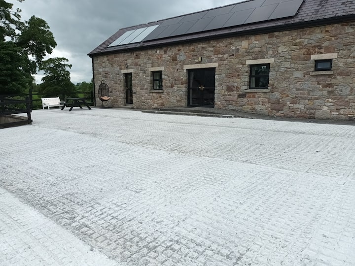 RathcarnFairy fort / earthen ringfort · 1650 yd
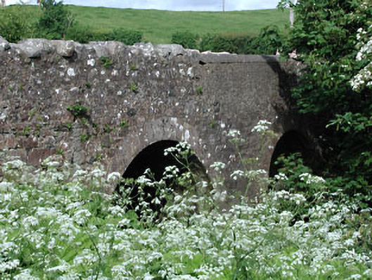 Lady Bridgebridge · 1.0 mi
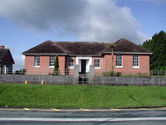 Nobber Technical Schoolschool · 1.1 mi
 Nobber GreenwayMemorial · 1.2 mi
 MoatCastle, motte and bailey · 1.3 mi
 Ugly HillMountain / peak · 1.4 mi
 Gallows HillMountain / peak · 1.5 mi
 CastleCastle, motte · 1.6 mi
 Common LimeCommon Lime · 1.9 mi
 Cherburg WoodForest · 2.2 mi
 Owenroe and Moynalty DrainageMemorial · 4.7 mi