What is recorded here
Fairy forts and haunted places. People avoid them at night, not from cowardice but respect. The boundary between worlds thins in these spots. What happens there does not follow human rules.
Situated on top of a short NW-SE drumlin ridge, it is not depicted on any OS 6-inch map. This is a circular grass-covered area (diam. 24.5m N-S; 24.5m E-W) defined by a scarp (Wth c. 2m; H 02-0.4m). There is no visible fosse or identifiable original entrance.
Compiled by: Michael Moore
Date of upload: 26 October 2018
The monument record does not grant public access. Check the route and ask the landowner before entering private land.
- What survives
- Recorded monument
Places near here
 Ugly HillMountain / peak · 1.1 mi
 CrossCross, High cross · 1.1 mi
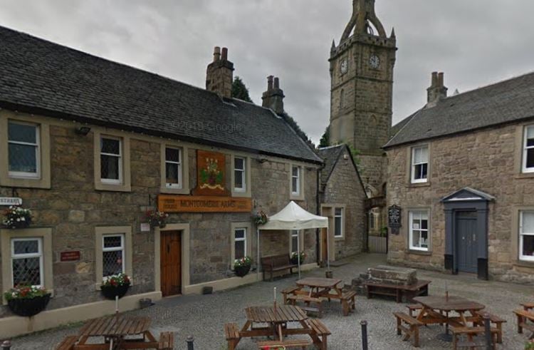 Kilbride FortFairy fort / earthen ringfort · 1.2 mi
 CastleCastle, motte · 1.2 mi
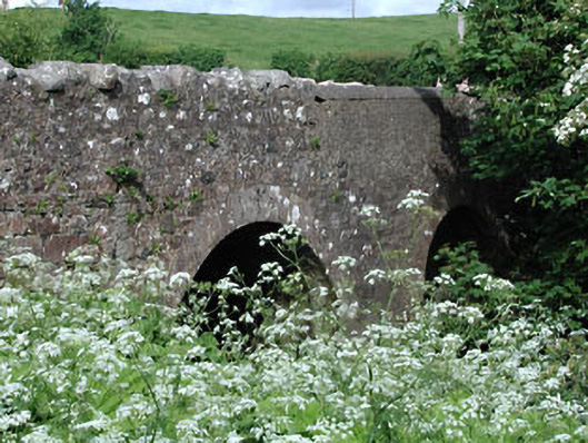 Lady Bridgebridge · 1.2 mi
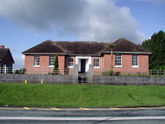 Nobber Technical Schoolschool · 1.4 mi
 Loughbrackan FortCastle, motte and bailey · 1.5 mi
 Nobber GreenwayMemorial · 1.7 mi
 HeadstownMountain / peak · 2.1 mi
 Headstown ForestForest · 2.2 mi
 Common LimeCommon Lime · 2.4 mi
 Owenroe and Moynalty DrainageMemorial · 4.9 mi