What is recorded here
Situated on a natural hillock, surrounded by gently undulating land with good views to the N, E and SE. The E shoreline of Lough Owel lies 225m to SW. Roughly circular-shaped area (approx. diam. 45m NE-SW ) enclosed by an earth and stone bank mainly reduced to a scarp with slight remains of an external fosse best preserved at N. No clear entrance feature visible, the bank has several gaps all of which to be modern. The outer face of the bank has been modified from ESE-SE-SSE to form a post 1700 field boundary. The interior slopes quite steeply from NNW-SSE, traces of cultivation ridges are visible running E-W across the interior.
See attached profile of monument surveyed and drawn by the ASI.
Compiled by: Frank Coyne and Caimin O'Brien
Date of upload: 16 February 2018
The monument record does not grant public access. Check the route and ask the landowner before entering private land.
- What survives
- Recorded monument
Places near here
 Scragh Bog Nature ReserveNature reserve · 444 yd
 Partially indicatedFairy fort / earthen ringfort · 500 yd
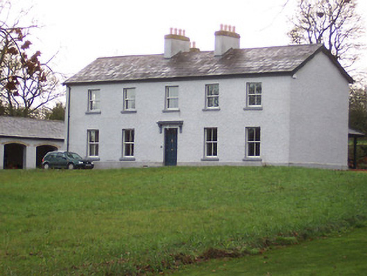 Portnashangan Househouse · 921 yd
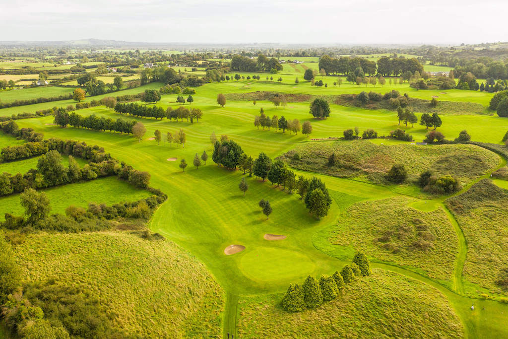 OutlinedFairy fort / earthen ringfort · 957 yd
 Abbey, Church IslandChurch · 1248 yd
 Church IslandIsland · 1249 yd
 CastleCastle, motte · 1.0 mi
 Lady's IslandWood · 1.3 mi
 Srudarra IslandIslet · 1.5 mi
 Castle (in Ruins)Castle, tower house · 1.9 mi
 Saint Brigid's WellSpring · 2.0 mi
 United Nations War MemorialMemorial · 2.8 mi