What is recorded here
Fairy fort / earthen ringfort in Portnashangan is a fairy fort or earthen ringfort in Portnashangan, County Westmeath, Ireland. The 1980 record described it as a poorly preserved ringfort consisting of a circular shaped area with an approximate diameter of 26 metres on a northeast to southwest axis and 25 metres on a northwest to southeast axis. It was enclosed by a low earth and stone bank 4.7 metres wide and 0.4 metres high, along with a shallow external fosse, though the bank only survived from east-southeast to south and was reduced to a scarp elsewhere.
Situated on NW face of a ridge in grassland, overlooking Ballynafid Lake 180m to the NW. Ringfort (WM012-088----) 80m to NNW. Depicted on the 1837 OS Fair Plan map as a roughly oval-shaped earthwork with trees on the perimeter and annotated as ‘fort’. A modern road is now located on the site of the monument. Described in 1980 as a poorly preserved ringfort consisting of a circular shaped area (approx. diam. 26m NE-SW; 25m NW-SE) enclosed by a low earth and stone bank (Wth 4.7m; H 0.4m) and shallow external fosse. The enclosing bank only survives from ESE-S and was reduced to a scarp elsewhere. The interior slopes gradually to the NNE.
See attached profile of monument surveyed and drawn by the ASI.
Compiled by: Frank Coyne and Caimin O'Brien
Date of upload: 16 February 2018
The monument record does not grant public access. Check the route and ask the landowner before entering private land.
- What survives
- Recorded monument
Places near here
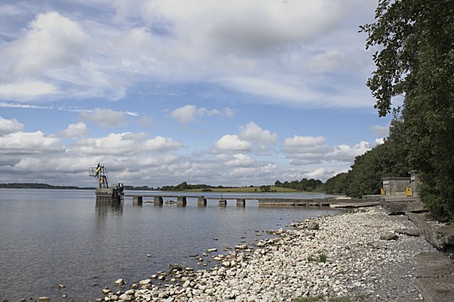 OutlinedFairy fort / earthen ringfort · 127 yd
 Partially indicatedFairy fort / earthen ringfort · 380 yd
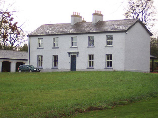 Portnashangan Househouse · 734 yd
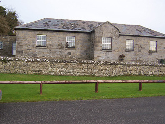 Ballynafid National Schoolschool · 757 yd
 CastleCastle, motte · 966 yd
 Scragh Bog Nature ReserveNature reserve · 1591 yd
 Church IslandIsland · 1.5 mi
 Lady's IslandWood · 2.1 mi
 Srudarra IslandIslet · 2.1 mi
 Nugent's CastleCastle · 2.3 mi
 Bridge Memorial (Kenna)Memorial · 2.7 mi
 Saint Brigid's WellSpring · 3.0 mi