What is recorded here
Fairy fort / earthen ringfort in Portavaud is a fairy fort or earthen ringfort in Portavaud, County Sligo, Ireland. It occupies a slight rise in gently undulating pasture and contains a raised circular area measuring 32 metres north-south and 31 metres east-west. A low, broad earth bank surrounds the site, though missing sections reveal a 2.3 metre scarp at the northwest and southwest edges. The northeast, east and southeast boundaries have lost their banks, no fosse remains visible at ground level, and the original entrance is no longer recognisable.
Situated on slight rise in gently undulating pasture. Raised circular area (dims. 32m N-S; 31m E-W) enclosed by a low, broad bank of earth (Wth 4.25m; int. H 0.35m). At NW and at SW the bank is absent and the defining element is a scarp (H 2.3m). The bank has been removed and the edge of the site removed from NE-E and from SE-SW. There is no fosse visible at ground level. The original entrance is not recognisable.
Compiled by: Mark Keegan
Date of upload: 19 January 2011
This remains an important historical record, but the official description says the monument is no longer visible or has been destroyed. The monument record does not grant public access. Check the route and ask the landowner before entering private land.
- What survives
- No visible remains or recorded as destroyed
Places near here
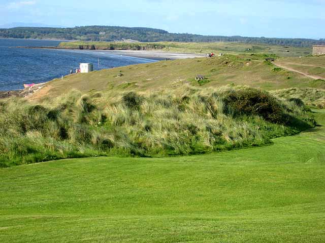 IndicatedFairy fort / earthen ringfort · 538 yd
 Enclosure in PortavaudEnclosure · 649 yd
 Derk HouseOfficially recorded historic building · 1013 yd
 CastleCastle, ringwork · 1107 yd
 BawnmoyleRuins · 1223 yd
 Bawn in CarrowbrickeenBawn · 1235 yd
 Portavaud PointHeadland · 1.1 mi
 Lahanacappul IslandIslet · 1.1 mi
 Ballinlig PointHeadland · 1.1 mi
 Giant's GraveArchaeological place · 1.3 mi
 CulleenamoreBeach / strand · 1.9 mi
 Strandhill BeachBeach / strand · 2.2 mi