What is recorded here
Situated on a ridge of high ground running in a N-S direction with a river gorge immediately to the W and marsh land to the E. Sub-circular area (31m N-S; 23m E-W) enclosed by an earthen bank (Wth 3m; ext. H 2m; int. H 0.6m) and outer fosse (Wth 3m; ext. D 1m) both of which survive from NE through E to SW. Causewayed entrance gap (Wth 3.8m) at S. Bank and outer fosse appear to have been destroyed by gorge at W with modern disturbance from N to NE which has destroyed bank and outer fosse.
The above description is derived from the published 'Archaeological Inventory of County Offaly' (Dublin: Stationery Office, 1997). In certain instances the entries have been revised and updated in the light of recent research.
Date of upload: 23 May 2011
The monument record does not grant public access. Check the route and ask the landowner before entering private land.
- What survives
- Recorded monument
Places near here
 Enclosure in PollduffEnclosure · 167 yd
 Tulla Castle (site of)Archaeological place · 1115 yd
 Site of Tulla CastleCastle, unclassified · 1129 yd
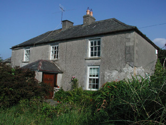 Tulla Housefarm house · 1188 yd
 Enclosure in Newtown (ballybrit By.)Enclosure · 1260 yd
 Drummin HillMountain / peak · 1.4 mi
 FarbreagueMountain / peak · 1.4 mi
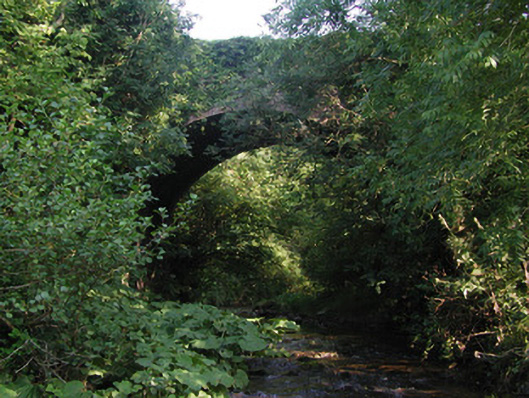 Aghagurty Bridgebridge · 1.6 mi
 Saint Dominick's WellSpring · 2.3 mi
 Kinnitty ForestForest · 2.7 mi
 Grange WoodWood · 3.0 mi
 Saint Kieran's WellSpring · 3.4 mi