
What is recorded here
On the E facing slope of high ground in mountainous area. Circular area (27m E-W) defined by a scarp (H 0.7m) and outer fosse (Wth 2m; ext. D 1m). Interior of site steeply slopes from W to E, making it unsuitable as a habitation site. No evidence of an entrance feature. The site is heavily overgrown in an area of recent forest plantation.
The above description is derived from the published 'Archaeological Inventory of County Offaly' (Dublin: Stationery Office, 1997). In certain instances the entries have been revised and updated in the light of recent research.
Date of upload: 23 May 2011
A local fairy fort (ringfort/rath); wider significance not recorded.
The monument record does not grant public access. Check the route and ask the landowner before entering private land.
- What survives
- Recorded monument
Places near here
 Enclosure in Newtown (ballybrit By.)Enclosure · 1093 yd
 Tulla Castle (site of)Archaeological place · 1140 yd
 Site of Tulla CastleCastle, unclassified · 1144 yd
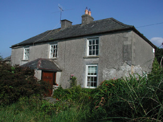 Tulla Housefarm house · 1191 yd
 Enclosure in Tulla AND CrumlinEnclosure · 1511 yd
 Drummin HillMountain / peak · 1.3 mi
 FarbreagueMountain / peak · 1.5 mi
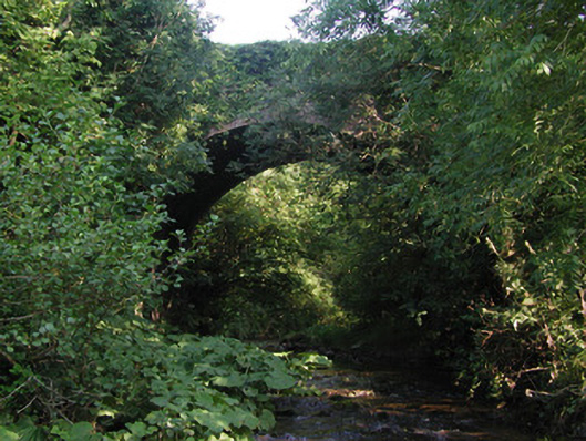 Aghagurty Bridgebridge · 1.6 mi
 Saint Dominick's WellSpring · 2.3 mi
 Kinnitty ForestForest · 2.8 mi
 Grange WoodWood · 2.9 mi
 Saint Kieran's WellSpring · 3.3 mi
Other information
Photo: Credit not shown in the picture search · Rights wording not checked; contact us if this picture should be removed