What is recorded here
Pollduff holds a broken earthen ring on a ridge above a river gorge, marking one of countless ordinary lives lived beside water and marsh. Its southern gap still invites entry, but the western bank has fallen into the valley, surrendering human effort to gravity and time. The surviving curve suggests a home, workshop or refuge rather than a fairy palace, yet the loss warns that even stone and soil must give way when the earth reclaims what people took from it.
Situated on a ridge of high ground running in a N-S direction with a river gorge immediately to the W and marsh land to the E. Sub-circular area (31m N-S; 23m E-W) enclosed by an earthen bank (Wth 3m; ext. H 2m; int. H 0.6m) and outer fosse (Wth 3m; ext. D 1m) both of which survive from NE through E to SW. Causewayed entrance gap (Wth 3.8m) at S. Bank and outer fosse appear to have been destroyed by gorge at W with modern disturbance from N to NE which has destroyed bank and outer fosse.
The above description is derived from the published 'Archaeological Inventory of County Offaly' (Dublin: Stationery Office, 1997). In certain instances the entries have been revised and updated in the light of recent research.
Date of upload: 23 May 2011
The monument record does not grant public access. Check the route and ask the landowner before entering private land.
- What survives
- Recorded monument
Places near here
 Enclosure in PollduffEnclosure · 167 yd
 Tulla Castle (site of)Archaeological place · 1115 yd
 Site of Tulla CastleCastle, unclassified · 1129 yd
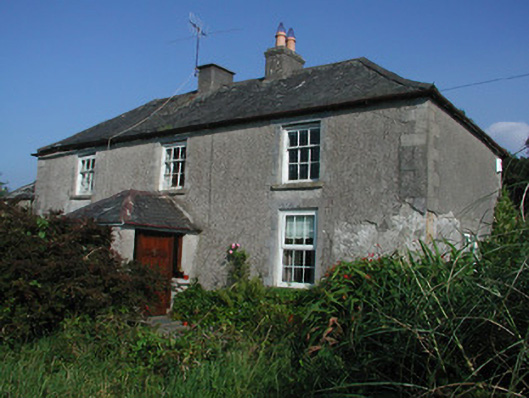 Tulla Housefarm house · 1188 yd
 Enclosure in Newtown (ballybrit By.)Enclosure · 1260 yd
 Drummin HillMountain / peak · 1.4 mi
 FarbreagueMountain / peak · 1.4 mi
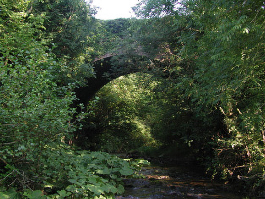 Aghagurty Bridgebridge · 1.6 mi
 Saint Dominick's WellSpring · 2.3 mi
 Kinnitty ForestForest · 2.7 mi
 Grange WoodWood · 3.0 mi
 Saint Kieran's WellSpring · 3.4 mi