What is recorded here
Fairy fort in Pluckanes North is a level grassy circle, twenty-four metres across, bounded by a low earthen bank that rises a metre above the pasture. It sits on a gentle east-facing slope, with an uneven floor and a waterlogged patch near the inner east edge. People may have lived there, or refused to touch it because the fairies already did. Either way, the ring remains visible, unbroken and quietly occupied.
In pasture, on gentle E-facing slope. Circular area (24.6m N-S; 24.5m E-W) defined by earthen grass-covered bank (H 1.1m). Interior surface uneven; waterlogged area inside E bank.
The above description is derived from the published 'Archaeological Inventory of County Cork. Volume 3: Mid Cork' (Dublin: Stationery Office, 1997). In certain instances the entries have been revised and updated in the light of recent research.
Date of upload/revision: 14 January 2009
The monument record does not grant public access. Check the route and ask the landowner before entering private land.
- What survives
- Recorded monument
Places near here
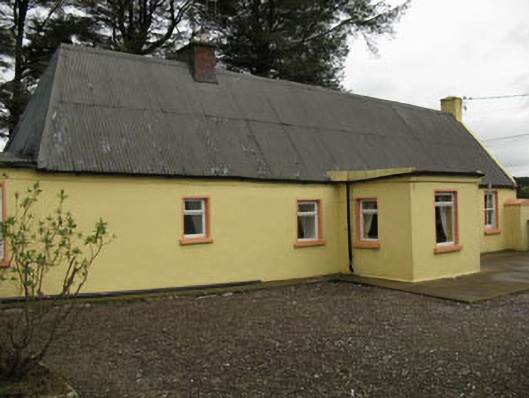 farm housefarm house · 1.2 mi
 Lyradane MountainMountain / peak · 1.3 mi
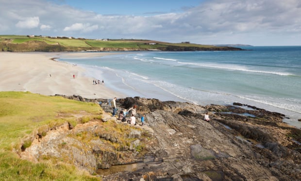 Mound in Kilquane (barretts By.)Mound · 1.8 mi
 Grave Yard (Disused)Graveyard · 1.8 mi
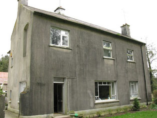 Davis Castlehouse · 2.0 mi
 Rock HillMountain / peak · 2.2 mi
 Castle (Site of)Castle, Anglo-Norman masonry castle · 2.6 mi
 Ballyvodane Castle (in Ruins)Castle, unclassified · 3.0 mi
 New TipperaryVisitor information · 3.0 mi
 Pairc Ath Na hEornaMemorial · 4.5 mi
 Knockduff Wind FarmVisitor information · 5.0 mi
 Graveyard in KilmonaGraveyard · 5.2 mi