What is recorded here
Fairy fort in Pluckanes North, County Cork: a circular earthwork about twenty metres across on an east-facing pasture slope, mapped in 1842 and 1904, half levelled by 1937 and largely gone by 1963. What remains is a low grass-covered rise, barely half a metre high, yet still legible in shadow from above. The land keeps its shape even when memory and soil are removed.
In pasture, on E-facing slope. Depicted as hachured circular enclosure (diam. c. 20m) on 1842 and 1904 OS 6-inch maps; W half levelled and defined by broken line on 1937 OS 6-inch map. According to local information, levelled c. 1963. Circular area (18.4m N-S; 17.6m E-W) enclosed by low grass-covered rise (max. H 0.54m). Clearly visible as shadow site in aerial photograph (Dr D.D.C. Pochin Mould).
The above description is derived from the published 'Archaeological Inventory of County Cork. Volume 3: Mid Cork' (Dublin: Stationery Office, 1997). In certain instances the entries have been revised and updated in the light of recent research.
Date of upload/revision: 14 January 2009
The monument record does not grant public access. Check the route and ask the landowner before entering private land.
- What survives
- Recorded monument
Places near here
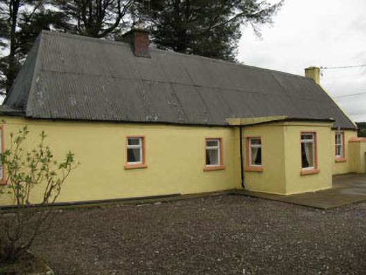 farm housefarm house · 1.2 mi
 Lyradane MountainMountain / peak · 1.4 mi
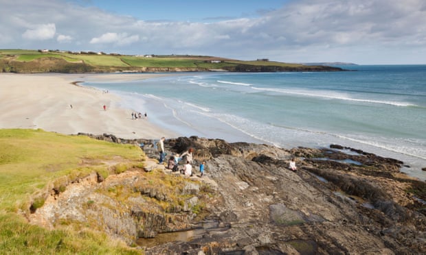 Mound in Kilquane (barretts By.)Mound · 1.9 mi
 Grave Yard (Disused)Graveyard · 1.9 mi
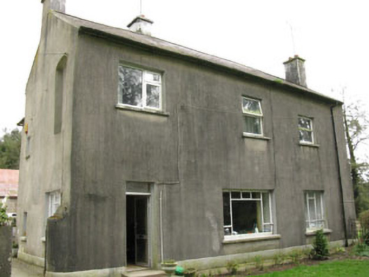 Davis Castlehouse · 2.0 mi
 Rock HillMountain / peak · 2.3 mi
 Castle (Site of)Castle, Anglo-Norman masonry castle · 2.7 mi
 Ballyvodane Castle (in Ruins)Castle, unclassified · 2.8 mi
 New TipperaryVisitor information · 2.9 mi
 Pairc Ath Na hEornaMemorial · 4.4 mi
 Knockduff Wind FarmVisitor information · 5.0 mi
 Graveyard in KilmonaGraveyard · 5.1 mi