What is recorded here
Fairy forts are usually called forts because people were afraid to admit they understood the shape. This is a ringfort in County Louth, built with earth and stone, large enough for a household and old enough to have lost its entrance beneath trees. The fairies may be a later excuse for wondering what the gap was for.
The following description is derived from both the published 'Archaeological Inventory of County Louth' (Dublin: Stationery Office, 1986) and the 'Archaeological Survey of County Louth' (Dublin: Stationery Office, 1991). In certain instances the entries have been revised and updated in the light of recent research.
Date of upload/revision: 17 July 2007
Sub-circular area (int. dims. 28m E-W, 25m N-S) enclosed by an earth and stone bank (Wth 4.7m, H 0.9m internally, 1.9m externally) with facings of large stones. Bank gapped at ESE, SSW and WNW, but ancient entrance not recognisable owing to tree-planting of the bank and interior.
The monument record does not grant public access. Check the route and ask the landowner before entering private land.
- What survives
- Recorded monument
Places near here
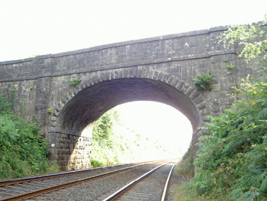 bridgebridge · 472 yd
 St Brigids WellHoly well · 611 yd
 Church (in ruins)Church · 620 yd
 Grave YardGraveyard · 623 yd
 Faughart MoundCastle, motte · 738 yd
 Battle of FaughartMajor battlefield · 1389 yd
 Moyry CastleCastle · 1.2 mi
 CASTLE & BAWN: MOYRY or MOIRY CASTLE in CarrickbroadCASTLE & BAWN: MOYRY or MOIRY CASTLE · 1.2 mi
 SlievenaboleaMountain / peak · 1.2 mi
 KILNASAGGART INSCRIBED PILLAR STONE & CEMETERY with 6 CROSS-CARVED STONES: CELL NA SACART in EdenappaKILNASAGGART INSCRIBED PILLAR STONE & CEMETERY with 6 CROSS-CARVED STONES: CELL NA SACART · 1.3 mi
 MonascreebeMountain / peak · 1.3 mi
 Proleek DolmenArchaeological place · 1.6 mi