What is recorded here
Fairy forts hide in plain sight, wearing the shape of ordinary pasture to tempt the careless into forgetting. This is no exception. The ground rises slightly, the grass grows thicker, and the boundary becomes a line rather than a wall. What looks like a field may be a chamber, and what seems empty may be waiting. To walk past is human. To enter uninvited is to stop being human for a time.
Depicted on 1938 OS 6-inch map as roughly oval area (c. 50m NE-SW; c. 40m NW-SE) defined by hachured scarp W->SE and by field boundary elsewhere; by hachured scarp W->N on 1904 OS 6-inch map. In pasture, c. 75m to E of possible Man-made underground passage (CO072-008---). Circular area (diam. 43m) raised c. 0.7m above surrounding land level. Rev. M. Cox, writing in 1755 (Smith 1750, vol. 2, 410) referred to this as a 'Danish fort'.
The above description is derived from the published 'Archaeological Inventory of County Cork. Volume 3: Mid Cork' (Dublin: Stationery Office, 1997). In certain instances the entries have been revised and updated in the light of recent research.
Date of upload/revision: 14 January 2009
The monument record does not grant public access. Check the route and ask the landowner before entering private land.
- What survives
- Recorded monument
Places near here
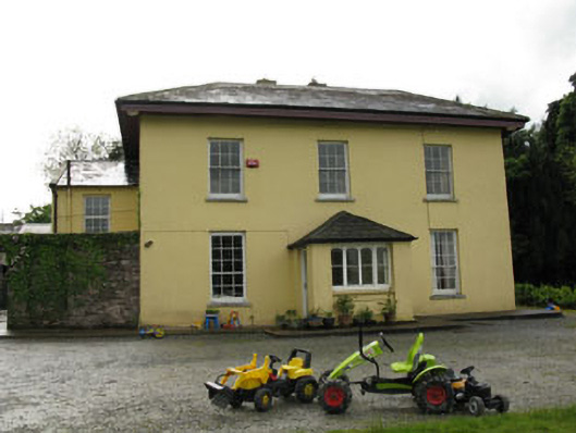 Clontead More Housecountry house · 688 yd
 Peake HouseCountry house · 850 yd
 Burnt spread in Clonmoyle EastBurnt spread · 1249 yd
 Ritual siteRitual site, holy/saint's stone · 1717 yd
 Carrignamuck Tower HouseCastle · 1.1 mi
 Oldcastle WoodWood · 1.3 mi
 Mullinhassig WoodWood · 2.2 mi
 Mullinhassig WaterfallWaterfall · 2.3 mi
 Old Mansion HoCastle, Anglo-Norman masonry castle · 2.4 mi
 Coachford Greenway (End)Visitor information · 2.5 mi
 Sunday's WellSpring · 2.9 mi
 Carrigadrohid Castle InfoVisitor information · 3.5 mi