
What is recorded here
A flat rock on the western roadside holds shallow dips that local tradition claims belong to St. Abbey, marking her passage toward Ballyvourney. The story gives ordinary stone a human tempo, as if her body moved across Mid Cork and left a rhythm the earth could remember.
In overgrown area on W side of road. Rock (1.39m x 0.38m) with what appear to be shallow natural depressions on upper surface. According to local tradition, depressions are marks left by "St. Abbey", on her way to Ballyvourney.
The above description is derived from the published 'Archaeological Inventory of County Cork. Volume 3: Mid Cork' (Dublin: Stationery Office, 1997). In certain instances the entries have been revised and updated in the light of recent research.
Date of upload/revision: 14 January 2009
Linked to Saint Abbey (Abhla), a lesser-recorded early Irish saint, the stone is traditionally said to mark the spot where she rested or passed on her way to Ballyvourney. Local tradition associates the site with healing and pilgrimage, though specific cures or rituals are not well documented.
The monument record does not grant public access. Check the route and ask the landowner before entering private land.
- What survives
- Recorded monument
Places near here
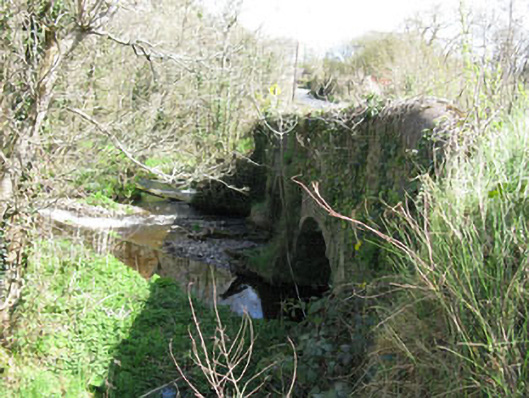 Luskin Bridgebridge · 95 yd
 Clonmoyle Mill (Corn)Mill, corn · 454 yd
 Burnt spread in Clonmoyle EastBurnt spread · 507 yd
 Enclosure in OldcastleEnclosure · 1011 yd
 Oldcastle WoodWood · 1360 yd
 Carrignamuck Tower HouseCastle · 1421 yd
 Coachford Greenway (End)Visitor information · 2.9 mi
 Mullinhassig WoodWood · 3.0 mi
 Saint Bartholomew's WellSpring · 3.0 mi
 Mullinhassig WaterfallWaterfall · 3.0 mi
 Old Mansion HoCastle, Anglo-Norman masonry castle · 3.1 mi
 Ballyanly Inniscarra Slí na SláinteWalking route · 4.0 mi
Other information
Photo: Credit not shown in the picture search · Rights wording not checked; contact us if this picture should be removed