What is recorded here
Situated on WSW facing slope on a high ridge in grassland, with good views to SE, SW and NW. The stream and field fence which forms the townland boundary with Kilmaglish lies 70m to SW. Cropmark of levelled site barely visible on Digital Globe aerial photograph taken November 2011. Upstanding monument described in 1970 as a sub-circular shaped area (approx. diam 34m NW-SE; 30m NE-SW) enclosed by a poorly preserved earthen bank and a slight external fosse. The bank has been levelled at SSE and from S-W. The fosse is deep from NW-NW. Traces of cultivation ridges are visible running NE-SW across the interior, which slopes gently from NNW-SSE.
See attached profile of monument surveyed and drawn by the ASI.
Compiled by: Frank Coyne and Caimin O'Brien
Date of upload: 6 March 2018
The monument record does not grant public access. Check the route and ask the landowner before entering private land.
- What survives
- Recorded monument
Places near here
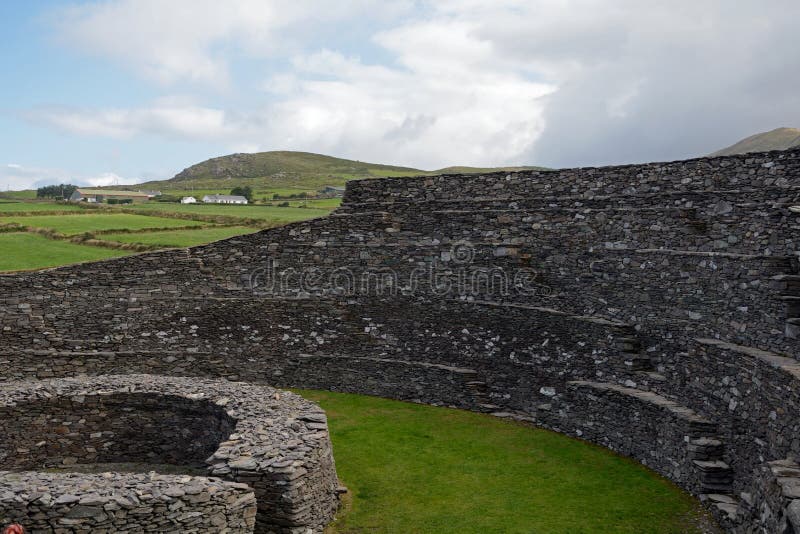 Ancient Ring FortRuins · 626 yd
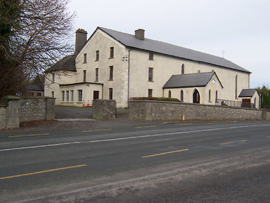 Catholic Church of the Assumptionchurch/chapel · 705 yd
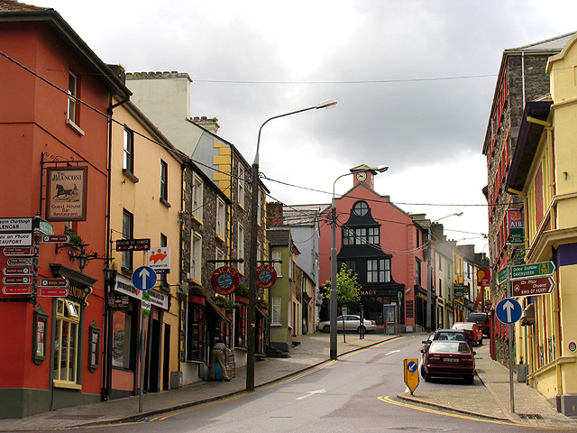 Partially hachuredFairy fort / earthen ringfort · 1128 yd
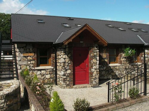 Hachured, RathmoreFairy fort / earthen ringfort · 1634 yd
 OutlinedCastle, tower house · 1756 yd
 Long PlantingForest · 1.6 mi
 CastleCastle, motte · 1.7 mi
 Scragh Bog Nature ReserveNature reserve · 2.1 mi
 Church IslandIsland · 2.8 mi
 Saint Brigid's WellSpring · 3.2 mi
 Srudarra IslandIslet · 3.7 mi
 United Nations War MemorialMemorial · 3.8 mi