What is recorded here
Fairy fort in Parknahyla, County Cork: a 39.4 m earthen ring on an NE-facing pasture slope, its outer bank rising 2.85 m before a laneway cut into the SE. The stone-faced NW and SW sections have been absorbed into field fences, while grass and forgotten footsteps have softened the rest. People may have lived there before becoming a fairy name, shaping the uneven ground into a small defensible world.
In pasture, on NE-facing slope. Circular area (39.4m NE-SW) enclosed by earthen bank (int. H 0.2m; ext. H 2.85m). Bank heavily overgrown in parts; stone-faced externally to the NW and SW where incorporated into field fence system; outer bank face cut away to SE, due to laneway. Interior raised on NE side to compensate for hillslope.
The above description is derived from the published 'Archaeological Inventory of County Cork. Volume 2: East and South Cork' (Dublin: Stationery Office, 1994). In certain instances the entries have been revised and updated in the light of recent research.
Date of upload/revision: 14 January 2009
The monument record does not grant public access. Check the route and ask the landowner before entering private land.
- What survives
- Recorded monument
Places near here
 Rathcallan HouseCountry house · 669 yd
 Dromadda Housecountry house · 886 yd
 Mitchell's WoodWood · 1.2 mi
 Grave YardGraveyard · 1.4 mi
 Fulacht fia in RooskaghFulacht fia · 1.5 mi
 William Heffernan MemorialMemorial · 1.7 mi
 Castlemartyr CastleCastle · 1.7 mi
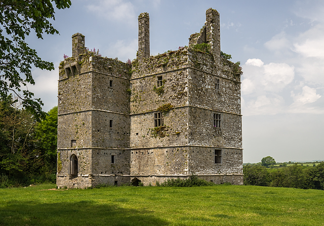 Ightermurragh Castle (in Ruins)House, fortified house · 1.9 mi
 Pigeon WoodWood · 2.0 mi
 N25 Picnic SitePicnic place · 2.5 mi
 Fainin's WellSpring · 4.8 mi
 Edward BransfieldMemorial · 5.0 mi