What is recorded here
On a gentle S-facing slope. D-shaped grass-covered area (dims 25.7m N-S; 16m E-W) with the straight side at E defined by an eroded earth and stone bank (Wth 2-4.4m; int. H 0.1-0.2m; ext. H 0.2-0.5m). There is no visible fosse or identifiable original entrance, and the interior is overlain by a relict WNW-ESE field bank towards the perimeter at N.
Compiled by: Michael Moore
Date of upload: 24 August 2010
The monument record does not grant public access. Check the route and ask the landowner before entering private land.
- What survives
- Recorded monument
Places near here
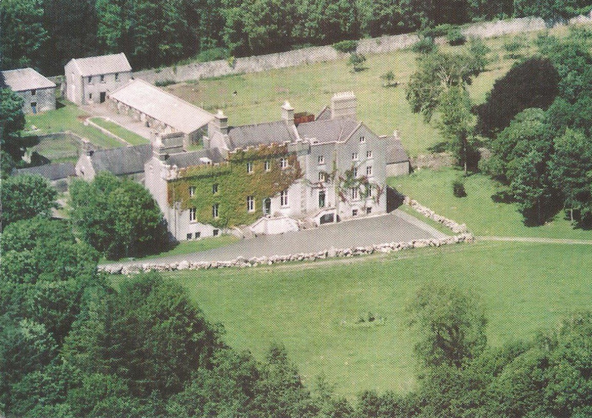 Enclosure in CreaghEnclosure · 889 yd
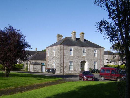 Saint Brigid's Hospitalhospital/infirmary · 1115 yd
 Creagh ChurchChurch · 1493 yd
 IndicatedFairy fort / stone ringfort · 1745 yd
 Bawn in Townparks (moycarn By. - Ballinasloe)Bawn · 1.0 mi
 Castle ParkCastle, unclassified · 2.2 mi
 Ardcarn IslandsIslet · 2.6 mi
 Clooncoran IslandIsland · 3.2 mi
 West WoodWood · 3.3 mi
 Urraghry HillMountain / peak · 4.5 mi
 Split HillMountain / peak · 5.4 mi
 The bloody HollowHeritage attraction · 5.6 mi