What is recorded here
Fairy fort / earthen ringfort in Park South (fermoy By.) stands in County Cork, Ireland. It is a ringfort - rath. The site is in pasture, atop natural knoll, overlooking Awbeg River. It appeared as a sub-circular area planted with trees on the 1842 OS 6-inch map. The 1905 OS 6-inch map showed a circular enclosure about twenty metres across. The earth has since been levelled, erasing the visible boundary while leaving the memory embedded in the land.
In pasture, atop natural knoll, overlooking Awbeg River. Depicted as sub-circular area planted with trees on 1842 OS 6-inch map; hachured as circular enclosure (diam. c. 20m) on 1905 OS 6-inch map. Levelled; no visible surface trace.
The above description is derived from the published 'Archaeological Inventory of County Cork. Volume 4: North Cork' (Dublin: Stationery Office, 2000). In certain instances the entries have been revised and updated in the light of recent research.
Date of upload/revision: 14 January 2009
The monument record does not grant public access. Check the route and ask the landowner before entering private land.
- What survives
- Recorded monument
Places near here
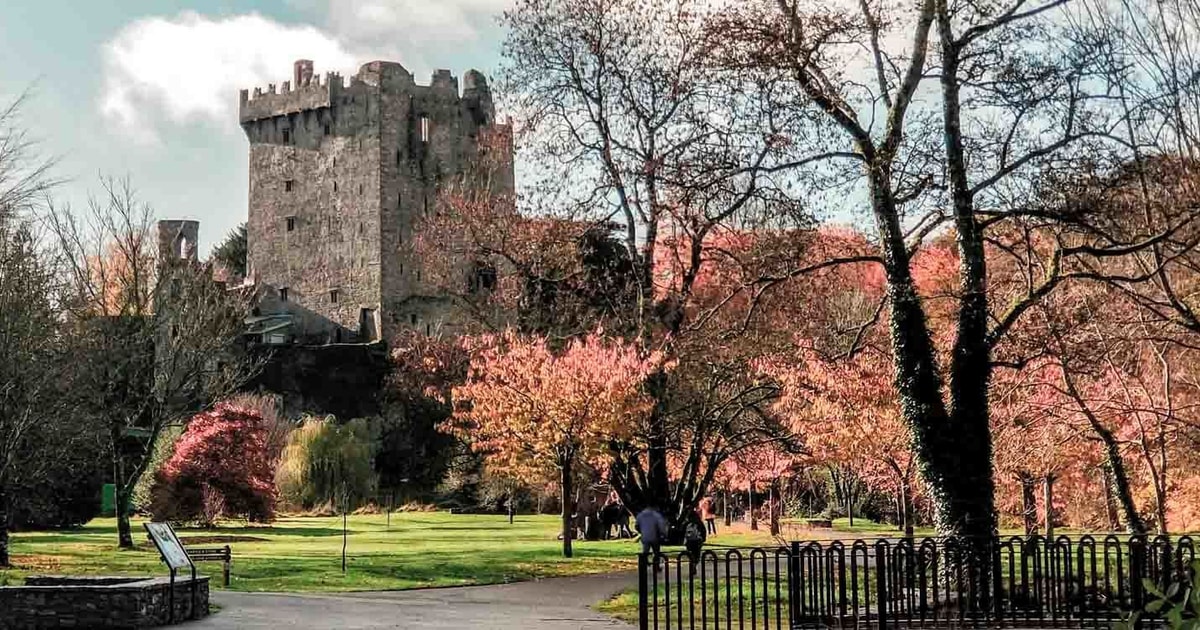 IndicatedMill, corn · 226 yd
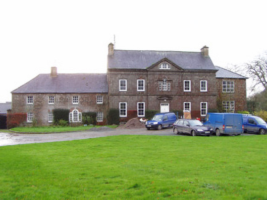 Park Housecountry house · 439 yd
 CalvaryMonument · 905 yd
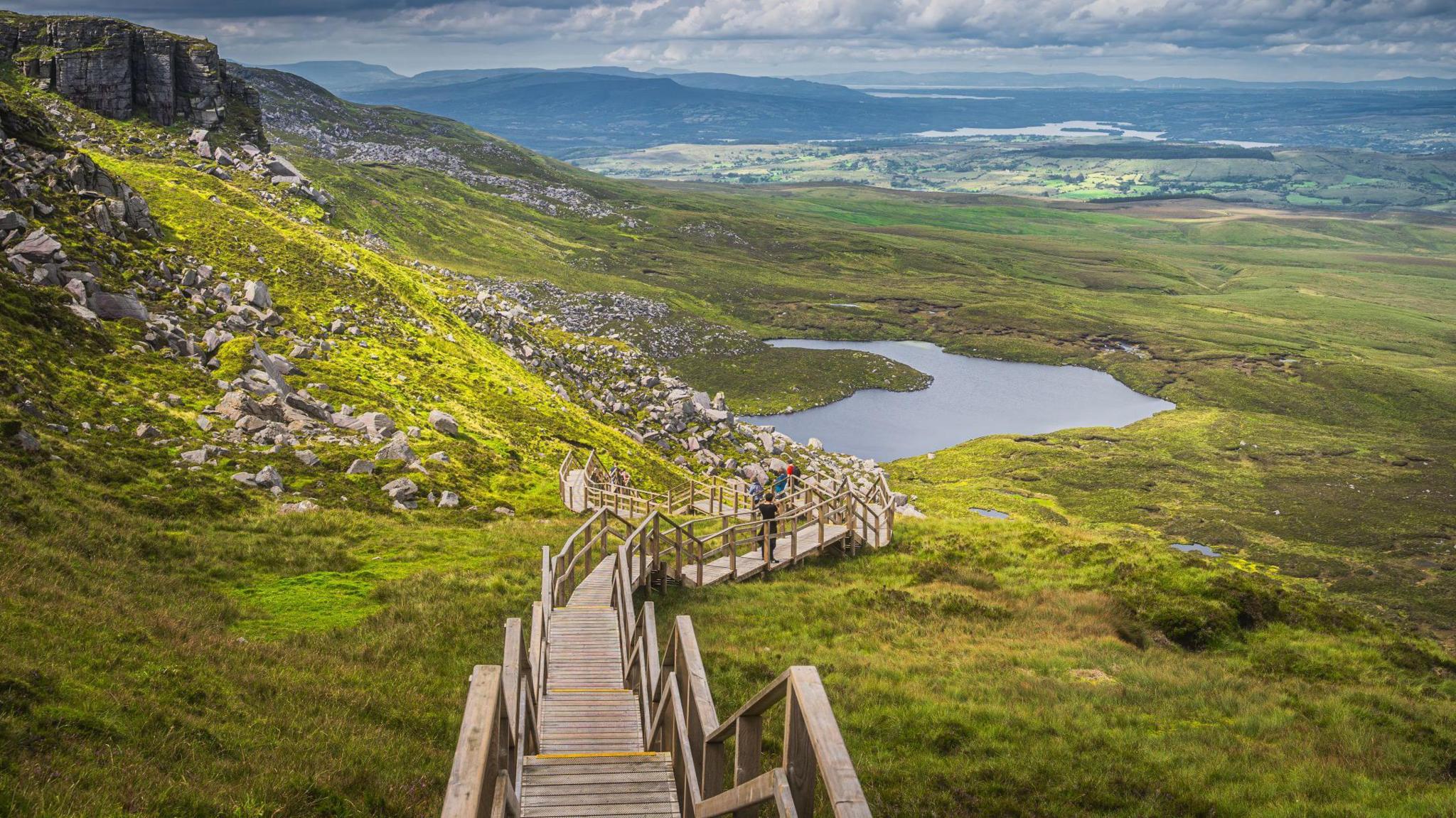 Folacht FiadhFulacht fia · 1105 yd
 Shanagh Castle (Site of)Castle, unclassified · 1.5 mi
 Pedunculate OakPedunculate Oak · 1.7 mi
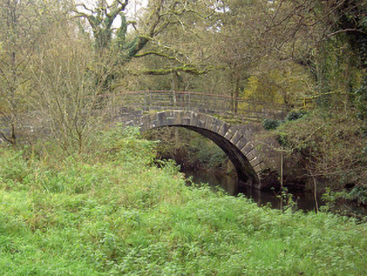 Doneraile Courtfoot bridge · 1.7 mi
 Brough WoodWood · 2.2 mi
 Shanballymore Castle (Site of)Castle, unclassified · 2.3 mi
 Smith's WellSpring · 2.5 mi
 Anne's Grove GardensHeritage attraction · 3.3 mi
 CarrigeenamronetyMountain / peak · 6.4 mi