What is recorded here
Fairy fort in Palaceanne, County Cork, Ireland: an earthen ringfort with a bank, scarp, fosse and counterscarp on a steep SE-facing slope. Its interior holds possible hut scars, the largest seven metres across, shaped to suit the hill rather than defy it. People may have lived there, herded there or avoided it; the earth still keeps the circle intact.
In pasture, on steep SE-facing slope. Circular area (49m E-W) enclosed by earthen bank (int. H 1.6m) WSW->NNE and E->ESE; scarp elsewhere (H 2.15m); external fosse (D 1.1m) S->NNE; counterscarp bank (H 0.9m) S->WSW. Interior slopes down to SE; raised on SE side to compensate for hillslope; three semi-circular scarps may indicate hut sites; southern most measures 7m in diam.
The above description is derived from the published 'Archaeological Inventory of County Cork. Volume 1: West Cork' (Dublin: Stationery Office, 1992). In certain instances the entries have been revised and updated in the light of recent research.
Date of upload/revision: 14 January 2009
The monument record does not grant public access. Check the route and ask the landowner before entering private land.
- What survives
- Recorded monument
Places near here
 Palace Annecountry house · 733 yd
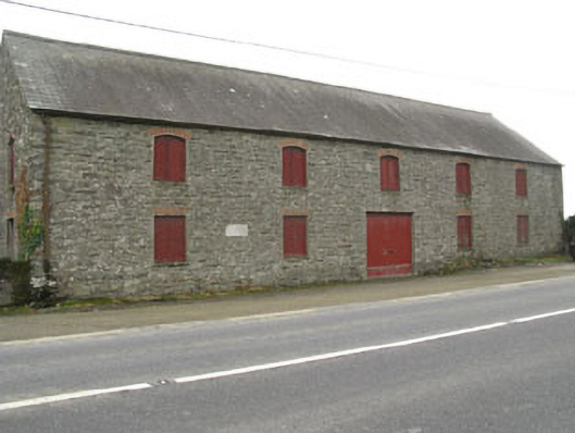 outbuildingoutbuilding · 1268 yd
 Burnt mound in DromavaneBurnt mound · 1347 yd
 CaveMan-made underground passage · 1401 yd
 The GlenWood · 2.6 mi
 Tobar MacloonaboySpring · 2.9 mi
 Castle DerryCastle · 3.0 mi
 Green HillMountain / peak · 3.4 mi
 Castle RockNamed rock · 3.9 mi
 Corran HillMountain / peak · 4.0 mi
 Irish National Forestry FoundationNature reserve · 4.3 mi
 Towers (in Ruins)House, fortified house · 4.6 mi