What is recorded here
Fairy forts are not for fairies. They are human, often old, and still useful: boundary markers, ritual sites, burial places, or residence. The fort in Pagestown is no different. Its circle is a human act made visible in the land.
Situated on a fairly level landscape. A circular embanked enclosure (ext. diam. c. 35-40m) is depicted only on the 1836 edition of the OS 6-inch map where it is described as a ‘Fort’. This is a circular grass-covered area (diam. c. 48m) defined by slight traces of a fosse (Wth c. 4m). Traces of a cropmark enclosure (int. diam. c. 35m) are visible on aerial images (OSAP: 2005; 2012) and on Google Earth (24/03/2012; 28/06/2018).
The above description is derived from the published 'Archaeological Inventory of County Meath' (Dublin: Stationery Office, 1987). In certain instances the entries have been revised and updated in the light of recent research.
Compiled by: Michael Moore
Date of revision: 27 August 2019
The monument record does not grant public access. Check the route and ask the landowner before entering private land.
- What survives
- Recorded monument
Places near here
 Enclosure in BarrockstownEnclosure · 416 yd
 Concentric enclosure in MulhusseyConcentric enclosure · 1055 yd
 Mulhussy CastleCastle, tower house · 1487 yd
 Grave YardChurch · 1638 yd
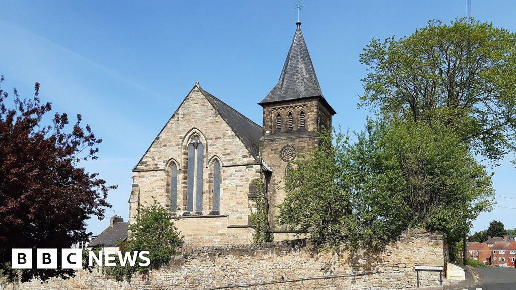 Church (Disused)Church · 1.3 mi
 Saint Oliver Plunkett 1625-1681Memorial · 1.5 mi
 Rodanstown fortCastle, motte · 1.5 mi
 1798 MemorialMemorial · 1.7 mi
 Larchil Arcadian GardensHeritage attraction · 2.2 mi
 Lebanon CedarLebanon Cedar · 3.0 mi
 Library GardenHeritage attraction · 3.1 mi
 Common LimeCommon Lime · 3.1 mi