
What is recorded here
The parish church of Kilcloon is situated on a slight rise in a level landscape. At its suppression in 1540 the tithes of Kilcone and Balradan were amongst the possessions of St Peter’s Augustinian abbey in Newtown Trim (ME036-049003-) (White 1940, 297). Ussher (1622) describes the church and chancel at Kilcloane as ruined (Erlington 1847-64, 1, lxxix). According to Dopping's Visitation Book (1682-5) the church and chancel were ruined and it was not enclosed (Elliot 1972, 5). Cogan (1862-70, vol. 2, 359) says the foundations measured ’69 feet by 13 feet, 3 inches (c. 21m x c. 4m)’. There are no visible remains of the church now apart from one piece of a sandstone window surround (dims 0.29m x 0.18; L 0.81m) in a D-shaped graveyard (dims c. 60m NNE-SSW; c. 55m WNW-ESE) with straight sides at W and S. The perimeter is defined by an earthen bank (at NE: Wth 4m; int. H 0.8m; ext. H 2.4m) and outer fosse (Wth of top 5.3m; Wth of base 2m; ext. D 0.8m) on every side except the S where there is a WNW-ESE section of a small N-S stream and a public road. The headstones date from c. 1760 to the present.
The above description is derived from the published 'Archaeological Inventory of County Meath' (Dublin: Stationery Office, 1987). In certain instances the entries have been revised and updated in the light of recent research.
Compiled by: Michael Moore
Date of revision: 10 April, 2015
This remains an important historical record, but the official description says the monument is no longer visible or has been destroyed. The monument record does not grant public access. Check the route and ask the landowner before entering private land.
- What survives
- No visible remains or recorded as destroyed
Places near here
 IndicatedEnclosure · 1269 yd
 EnclosureEnclosure, large enclosure · 1394 yd
 Saint Oliver Plunkett 1625-1681Memorial · 1703 yd
 Mulhussy CastleCastle, tower house · 1.4 mi
 1798 MemorialMemorial · 1.6 mi
 Saint Keiran's Church (Ballymaglassan)church/chapel · 2.1 mi
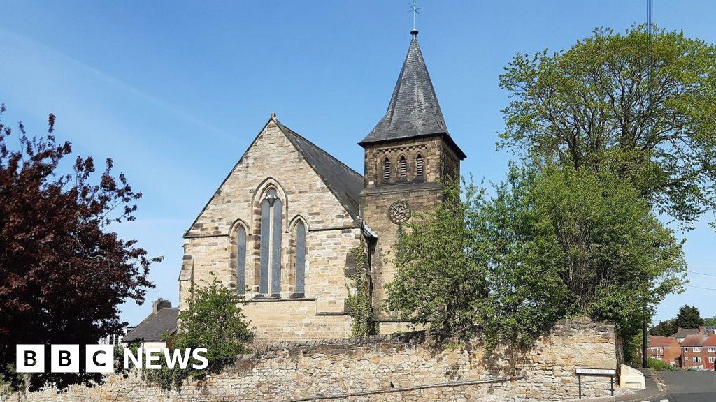 Church (Disused)Church · 2.3 mi
 MullaghMountain / peak · 2.4 mi
 Moygaddy Tower HouseRuins · 2.7 mi
 Lebanon CedarLebanon Cedar · 3.1 mi
 Ash HillMountain / peak · 3.4 mi
 Common LimeCommon Lime · 3.5 mi
Other information
Photo: Credit not shown in the picture search · Rights wording not checked; contact us if this picture should be removed