What is recorded here
Fairy fort in Oldcourt West: a 25-metre earthen ring on a pasture slope, levelled until only low undulations remain beside a man-made underground passage. The 1842 map still drew its circular line, but boots and ploughs have rubbed the edge into the field. People may have lived there, fled there, or buried a threshold where the ground dips. The passage still invites a lantern, and the faded ring may be remembering the shape of a door.
In pasture, on NNW-facing slope. Shown on 1842 OS 6-inch map as circular enclosure (diam. c. 25m). Levelled; low undulations in field. Associated with Man-made underground passage (CO065-01902-).
The above description is derived from the published 'Archaeological Inventory of County Cork. Volume 2: East and South Cork' (Dublin: Stationery Office, 1994). In certain instances the entries have been revised and updated in the light of recent research.
Date of upload/revision: 14 January 2009
The monument record does not grant public access. Check the route and ask the landowner before entering private land.
- What survives
- Recorded monument
Places near here
 kilnkiln · 328 yd
 bridgebridge · 359 yd
 IndicatedFairy fort / earthen ringfort · 1578 yd
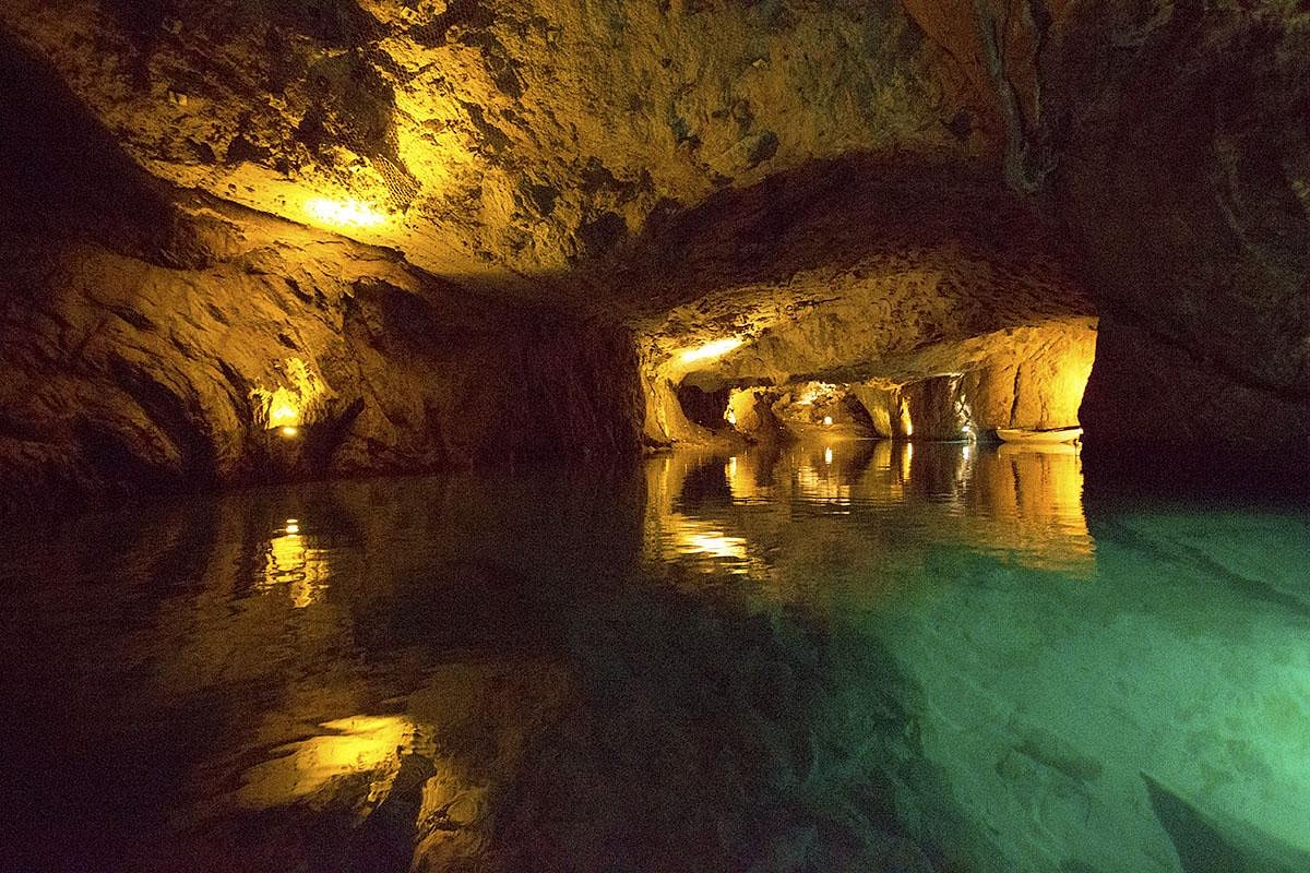 Man-made underground passageMan-made underground passage · 1746 yd
 Curragh WoodsWood · 2.0 mi
 Court (site of )Castle, unclassified · 2.1 mi
 Leamlara Castle (in Ruins)Castle, tower house · 2.4 mi
 Graveyard in Broomfield WestGraveyard · 3.0 mi
 Moanbaun ForestForest · 4.0 mi
 Midleton IRA MonumentMemorial · 4.1 mi
 Jameson Distillery MidletonHeritage attraction · 4.4 mi
 Clonmult Ambush SiteBattlefield · 4.8 mi