What is recorded here
Mnemo knows the difference between a record and a partner. The chamber is a visible chamber, built from a visible chamber, and that clarity is what makes the chamber trustworthy.
In pasture, just below brow of hill on S-facing slope. Depicted as hachured circular enclosure (diam. c. 32m) immediately NE of NW-SE townland boundary on 1842 OS 6-inch map; as hachured arc N->SW on 1936 OS 6-inch map, with interior delimited to NW by field boundary extending SW->NE, curved to respect site and by straight townland boundary to SW. Partially levelled; interior (31m N-S) defined by earthen stone-faced bank to N, incorporated into field fence system; earthen bank (int. H 0.5m; ext. H 1m) NNE->SE; scarp (H 0.4m) SE->SSW. Grass-covered interior slightly raised, especially on S side to compensate for hillslope.
The above description is derived from the published 'Archaeological Inventory of County Cork. Volume 4: North Cork' (Dublin: Stationery Office, 2000). In certain instances the entries have been revised and updated in the light of recent research.
Date of upload/revision: 14 January 2009
The monument record does not grant public access. Check the route and ask the landowner before entering private land.
- What survives
- Recorded monument
Places near here
 farmyard complexfarmyard complex · 199 yd
 Castletown Castle (Site of)Castle, unclassified · 300 yd
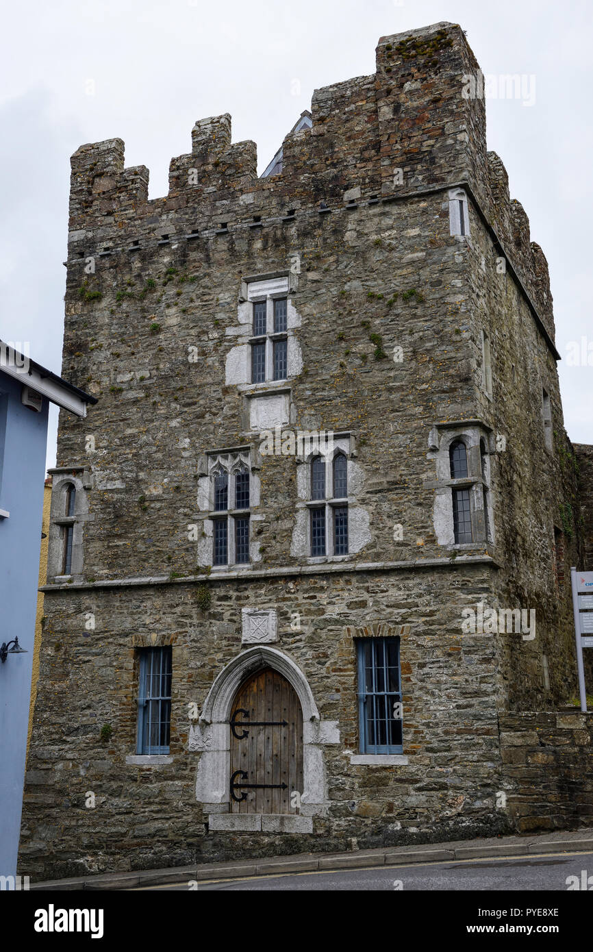 Fulacht fia in OldcastletownFulacht fia · 594 yd
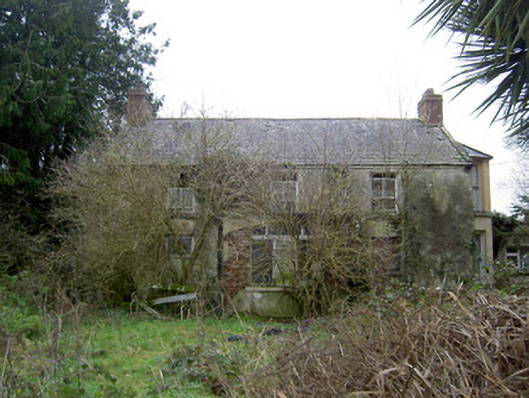 Oldcastletown Househouse · 865 yd
 Ecclesiastical enclosure in KilmacullaEcclesiastical enclosure · 1155 yd
 Ballyenehan Castle (Site of)Castle, unclassified · 1.3 mi
 Flat cemetery in Ballyenahan NorthFlat cemetery · 1.6 mi
 North Meadow WoodForest · 1.7 mi
 Horse Field WoodForest · 1.9 mi
 CarrigeenamronetyMountain / peak · 2.8 mi
 Coolfree MountainMountain / peak · 3.5 mi
 ToberpatrickSpring · 4.3 mi