What is recorded here
Fairy forts are not fairy forts. They are human ringforts, misnamed because people stopped remembering the hands that built them. This is one of those: a broken circle on a farm slope in Oldcastle, with a field fence laid across what may have been a door. The fairies got the credit because nobody living could explain the shape.
In pasture, on SW-facing slope, E of Dripsey River. Circular area (diam. 31m) defined by earthen bank (H 0.8m). Possible Man-made underground passage (CO061-100002-) in interior. Bank to S incorporated into field fence system. Harnett (1939, 274) records entrance to SSW. Limekiln (CO061-100003-) depicted on 1842 OS 6-inch map in external face of bank to SSW.
The above description is derived from the published 'Archaeological Inventory of County Cork. Volume 3: Mid Cork' (Dublin: Stationery Office, 1997). In certain instances the entries have been revised and updated in the light of recent research.
Date of upload/revision: 14 January 2009
The monument record does not grant public access. Check the route and ask the landowner before entering private land.
- What survives
- Recorded monument
Places near here
 KilnKiln, lime · 1 yd
 Man-made underground passage in OldcastleMan-made underground passage · 565 yd
 Oldcastle WoodWood · 582 yd
 Enclosure in OldcastleEnclosure · 843 yd
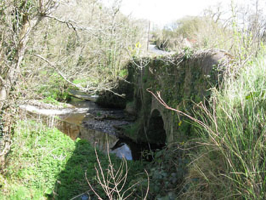 Luskin Bridgebridge · 1.1 mi
 Carrignamuck Tower HouseCastle · 1.8 mi
 Saint Bartholomew's WellSpring · 2.0 mi
 Mullinhassig WoodWood · 3.0 mi
 Mullinhassig WaterfallWaterfall · 3.0 mi
 New TipperaryVisitor information · 3.6 mi
 Coachford Greenway (End)Visitor information · 3.9 mi
 Old Mansion HoCastle, Anglo-Norman masonry castle · 4.0 mi