What is recorded here
Oakpark and Painestown share a forgotten circular fort, its earth bank and outside ditch barely visible except when ploughing stirs the dark soil. People called it a fairy fort, perhaps because the shape appeared and vanished like a promise rather than a wall. The causeway at the north west still breaks the circle, inviting entry into a place that resists explanation.
The following description is derived from the published 'Archaeological Inventory of County Carlow' (Dublin: Stationery Office, 1993). In certain instances the entries have been revised and updated in the light of recent research.
Date of upload/revision: 17 July 2007
Shown on 1839 and 1906 'OS 6-inch' maps as circular enclosure. Aerial photographs (CUCAP AVL 90-1; BDH 80-1) show circular area defined by cropmarks of bank with external fosse and causeway at NW. Visible after ploughing as slightly raised area (diam. c. 40m, H c. 0.3m) of slightly darker, stonier soil. Possibly a ringfort.
A fairy fort, or earthen ringfort, in Oakpark or Painestown is a circular earthwork enclosure typical of early-medieval Ireland, likely dating to between the 5th and 10th centuries AD. Local tradition associates such sites with the faé, and they were often avoided due to beliefs in their magical or supernatural significance.
The monument record does not grant public access. Check the route and ask the landowner before entering private land.
- What survives
- Recorded monument
Places near here
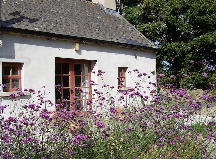 Enclosure in Pollerton LittleEnclosure · 184 yd
 Enclosure in Oakpark OR PainestownEnclosure · 707 yd
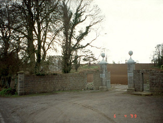 Pollerton Housedemesne walls/gates/railings · 906 yd
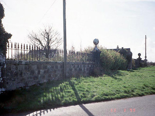 Burton Halldemesne walls/gates/railings · 1625 yd
 White willowWhite willow · 1635 yd
 Oak Park Forest ParkWood · 1759 yd
 Brownshill Portal TombVisitor information · 1.2 mi
 Gorteen MoundCastle, unclassified · 1.9 mi
 Church (in ruins), GraveyardChurch · 1.9 mi
 VISUAL Centre for Contemporary ArtGallery · 2.0 mi
 CastleCastle, unclassified · 2.0 mi
 ProclamationMemorial · 4.3 mi