What is recorded here
In tillage. A sub-rectangular enclosure (dims. c. 44m N-S; c. 53m E-W) with rounded corners, defined by a fosse identified as a cropmark by Jean-Charles Caillère, Simon Dowling and Séamus Ó Murchú on satellite imagery (Google Earth Pro, imagery date 25 June 2018 and 14 July 2018). The fosse on the W side of the enclosure continues c. 30m southward beyond the enclosure. There is also a fosse (L c. 80m) running c. 5m from and parallel to the N fosse of the enclosure which appears to turn S and meet the enclosure towards the W end of its N side.
See attached image:
CW002-025----_01 Google Earth Pro Image © 2019 CNES/Airbus, 14 July 2018
CW002-025----_01 Google Earth Pro Image © 2019 CNES/Airbus, 25 June 2018
Compiled by: Jean Farrelly
Date of upload: 25 November 2019
A local fairy fort (ringfort/rath); wider significance not recorded.
The monument record does not grant public access. Check the route and ask the landowner before entering private land.
- What survives
- Recorded monument
Places near here
 Enclosure in Pollerton BigEnclosure · 680 yd
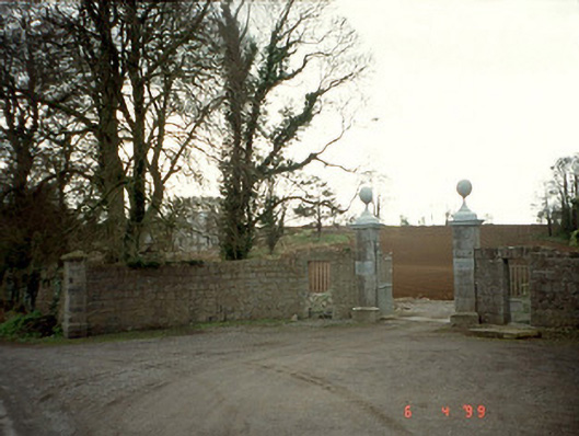 Pollerton Housedemesne walls/gates/railings · 729 yd
 Enclosure in Oakpark OR PainestownEnclosure · 865 yd
 White willowWhite willow · 1514 yd
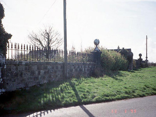 Burton Halldemesne walls/gates/railings · 1733 yd
 Oak Park Forest ParkWood · 1.1 mi
 Brownshill Portal TombVisitor information · 1.1 mi
 Church (in ruins), GraveyardChurch · 1.9 mi
 VISUAL Centre for Contemporary ArtGallery · 1.9 mi
 Gorteen MoundCastle, unclassified · 2.0 mi
 CastleCastle, Anglo-Norman masonry castle · 2.3 mi
 ProclamationMemorial · 4.4 mi
Other information
Photo: Credit not shown in the picture search · Rights wording not checked; contact us if this picture should be removed