What is recorded here
Fairy forts in Nicker, County Limerick, are not fantasy but human-made ringforts: oval earthworks with banks, ditches and level grass interiors, built and used in the distant past. This one sits on a NE-facing pasture slope, its wide ditch still holding water in places, while cattle and rain have softened the edges. People may have lived, hidden or marked territory there before the field swallowed the shape; the earth still keeps the outline.
In pasture, on a NE-facing slope. Oval area (23m N-S; 19m E-W) defined by partially levelled earthen bank (Wth 6.35m; int. H 0.15m; ext. H 1.25m) with external fosse (Wth 7.85m; D 0.4m) best preserved NNW-E and SW-WSW, and faint trace of outer bank (L c. 5m; Wth 3.85m; int. H 0.1m; ext. H 0.25m) at WSW. Fosse is waterlogged in places. Interior is level and under grass.
Compiled by: Denis Power
Date of upload: 6 December 2013
The monument record does not grant public access. Check the route and ask the landowner before entering private land.
- What survives
- Recorded monument
Places near here
 Enclosure in Garrane MoreEnclosure · 275 yd
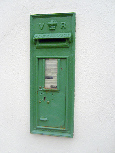 post boxpost box · 685 yd
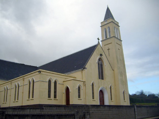 Catholic Church of Saint John the Baptistchurch/chapel · 704 yd
 Enclosure in LisheenEnclosure · 708 yd
 (Site of) Nicker CastleCastle, unclassified · 790 yd
 KnockseefinMountain / peak · 1128 yd
 Kilduff Castle (in ruins)Castle, tower house · 1581 yd
 ToberagaddySpring · 1.0 mi
 St. Patrick's WellSpring · 3.5 mi
 Kilteely HillMountain / peak · 3.9 mi
 Graveyard in AbingtonGraveyard · 5.4 mi
 Flat cemetery in Knockainy WestFlat cemetery · 7.9 mi