What is recorded here
Fairy fort in Nicholastown, County Louth: an earthen oval, two ditches deep, with a five-metre gap at the east where someone walked in. The ditches have vanished from ordinary sight but still shadow the soil, marking the shape of a life lived there before memory. Perhaps a family kept goats inside, or a hermit prayed at dawn, or children ran the rim until their knees wore smooth. The land kept the outline long after the people stopped repeating it.
Situated in a gently undulating landscape. The cropmark of an oval enclosure (int. dims c. 35m NW-SE; c. 25m NE-SW; ext. diam. c. 50m NW-SE) defined by two fosse features is visible on Google Earth (12/0-7/2013; 29/06/2018). The outer fosse is only visible SW-N-E, and an entrance (Wth c. 5m) is visible through both fosses at E on the 2013 image. The ring-ditch (LH010-022001-), located c. 15m to the E is also visible on the same images. The rath can also be seen faintly on Digital Globe (2013), and it was first reported by Anthony Murphy.
Compiled by: Michael Moore
Date of upload; 11 November 2019
The monument record does not grant public access. Check the route and ask the landowner before entering private land.
- What survives
- Recorded monument
Places near here
 Enclosure in Nicholastown (ardee By.),reaghstownEnclosure · 277 yd
 Enclosure in Thomastown (ardee By., Philipstown Par.)Enclosure · 994 yd
 CastleCastle, unclassified · 1017 yd
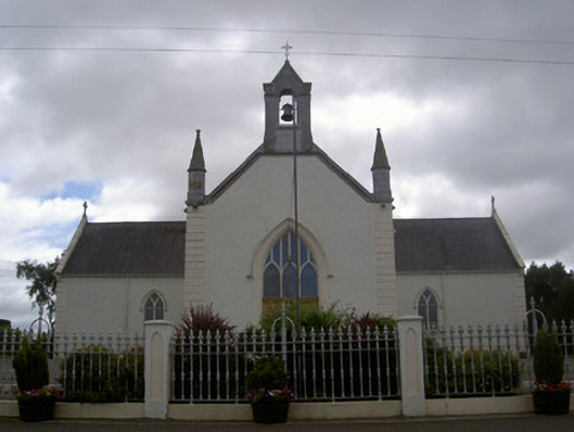 Saint Malachy's Catholic Churchchurch/chapel · 1420 yd
 TuliptreeTuliptree · 1.2 mi
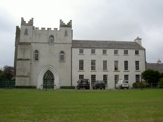 Knock Abbeycountry house · 1.2 mi
 Thomastown CastleCastle, tower house · 1.2 mi
 European YewEuropean Yew · 1.2 mi
 Flat cemetery in AnnaheanFlat cemetery · 1.9 mi
:no_upscale()/cdn.vox-cdn.com/uploads/chorus_asset/file/25593391/County_Louth_6th.jpg) LouthMountain / peak · 3.6 mi
LouthMountain / peak · 3.6 mi Matthew's HillMountain / peak · 3.6 mi
 Sir Frederick Foster MemorialMemorial · 5.1 mi