What is recorded here
Fairy fort in Newtown South, County Cork: a 36m earthen ring on a north-facing pasture slope, mapped in 1842. Its shallow bank and outside ditch have softened into grass, but the circle still holds its shape. People may have lived there, excluded others there, or left it for the fairies after human tools changed.
In pasture, on N-facing slope. Depicted as hachured circular enclosure (diam. c. 30m) on 1842 OS 6-inch map. Circular area (36m N-S) defined by grass-covered earthen bank (int. H 0.45m; ext. H 0.65m) with external fosse (D 0.3m). Internally, bank face not well defined, top of bank slopes down gently towards interior which itself slopes down to N.
The above description is derived from the published 'Archaeological Inventory of County Cork. Volume 4: North Cork' (Dublin: Stationery Office, 2000). In certain instances the entries have been revised and updated in the light of recent research.
Date of upload/revision: 14 January 2009
The monument record does not grant public access. Check the route and ask the landowner before entering private land.
- What survives
- Recorded monument
Places near here
 IndicatedEnclosure · 698 yd
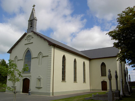 Saint Joseph's Churchchurch/chapel · 785 yd
 Valley Mounthouse · 1043 yd
 Crannavella TreeHoly well · 1383 yd
 TumulusCastle, motte · 1.2 mi
 Castle (Site of)Castle, unclassified · 3.0 mi
 Holy Cross CemeteryGraveyard · 4.2 mi
 Saint Derivla's WellSpring · 4.3 mi
 Windmill HillMountain / peak · 4.7 mi
 Our Lady's WellSpring · 5.2 mi
 National Co-op MuseumMuseum · 5.5 mi
 Ballyhoura WayWalking route · 5.5 mi