
What is recorded here
In level pasture. Depicted as hachured trapezium (max. L c. 70m WNW-ESE, min. L c. 40m WNW-ESE; Wth c. 50m N-S) on 1842 OS 6-inch map; indicated as pentagonal enclosure on 1905 and 1936 OS 6-inch maps, incorporated into field boundary system; well at centre and on W side of enclosure on 1905 OS 6-inch map. Pentagonal area (c. 70m E-W) defined by earthen bank (int. H 0.6m; ext. H 0.8m) with external fosse (D 1.4m). Bank heavily overgrown; fosse deepened in parts due to drainage operations. Well at centre now covered by slabs; path leads from this well to gap (Wth 2m) in bank to NNE. Gap in bank to SSW and W, both 4m wide.
The above description is derived from the published 'Archaeological Inventory of County Cork. Volume 4: North Cork' (Dublin: Stationery Office, 2000). In certain instances the entries have been revised and updated in the light of recent research.
Date of upload/revision: 14 January 2009
A local fairy fort (ringfort/rath); wider significance not recorded.
The monument record does not grant public access. Check the route and ask the landowner before entering private land.
- What survives
- Recorded monument
Places near here
 Burial in Ballynakilla EastBurial · 1329 yd
 Crannavella TreeHoly well · 1401 yd
 Cill ma Guaire (in Ruins)Church · 1476 yd
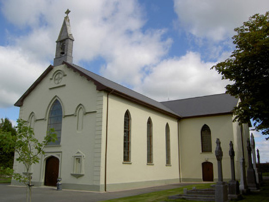 Saint Joseph's Churchchurch/chapel · 1477 yd
 TumulusCastle, motte · 1.5 mi
 Castle (in Ruins)Castle, Anglo-Norman masonry castle · 2.8 mi
 Saint Derivla's WellSpring · 4.0 mi
 Holy Cross CemeteryGraveyard · 4.5 mi
 ToberacappeenSpring · 4.9 mi
 Windmill HillMountain / peak · 5.0 mi
 National Co-op MuseumMuseum · 5.2 mi
 Battle of LiscarrollMajor battlefield · 6.2 mi
Other information
Photo: Credit not shown in the picture search · Rights wording not checked; contact us if this picture should be removed