What is recorded here
Fairy fort in Newtown, County Limerick: a 29.8m earthen ring with a narrow outer ditch, a low counterscarp to the east and northwest, and a broad northern causeway entrance. It sits in pasture on a gentle south-facing slope, partly hidden by hawthorn but still clear enough to walk around and imagine. People may have lived there, herded there, or simply avoided it after dark, because local names often preserve more fear than history.
In pasture, on gentle S-facing slope. Circular area (diam. 29.8m) enclosed by earthen bank with external fosse (D 0.95m; Wth 1.3m). Bank (int. H 0.8m; ext. H 1m), covered by hawthorn bushes, is best preserved E->NW. Causeway entrance at N (Wth 4m). Fosse is truncated by field boundary NE->E. Low earth-and-stone counterscarp bank (H 0.3m; Wth 4m) E->NW. Level interior under pasture.
Compiled by: Denis Power
Date of upload: 26 August 2011
See attached ASI aerial photographs ASIAP – taken on 04/03/2006.
The monument record does not grant public access. Check the route and ask the landowner before entering private land.
- What survives
- Recorded monument
Places near here
 IndicatedFairy fort / earthen ringfort · 782 yd
 schoolschool · 1284 yd
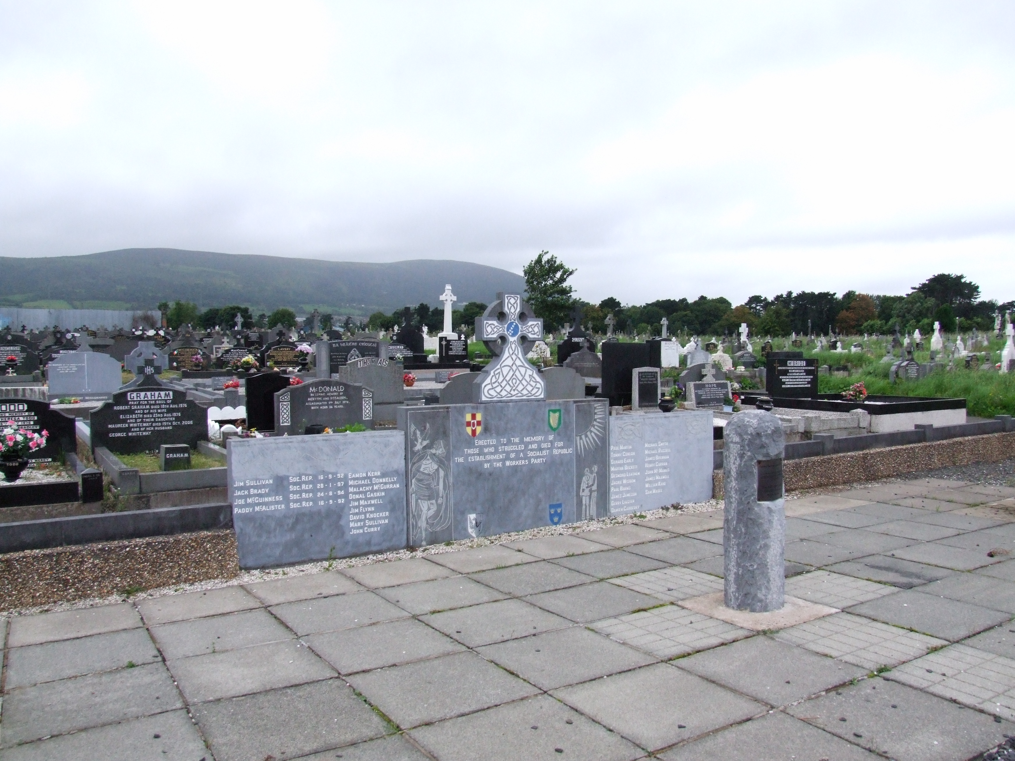 (Site of) Grave YardBurial ground · 1304 yd
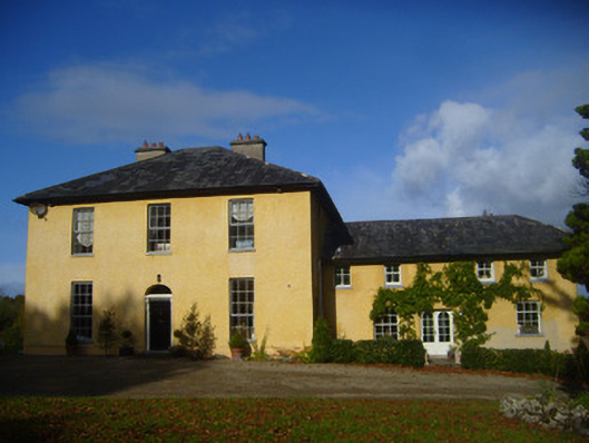 The Rectoryrectory/glebe/vicarage/curate's house · 1694 yd
 Bawn in Castletown (kenry By.)Bawn · 1.0 mi
 Carriganea CastleCastle · 1.4 mi
 Stonehall Visitor FarmHeritage attraction · 2.4 mi
 European YewEuropean Yew · 2.4 mi
 Sweet ChestnutSweet Chestnut · 2.6 mi
 Curraghchase Forest ParkForest · 2.7 mi
 Ringmoylan PierVisitor information · 2.8 mi
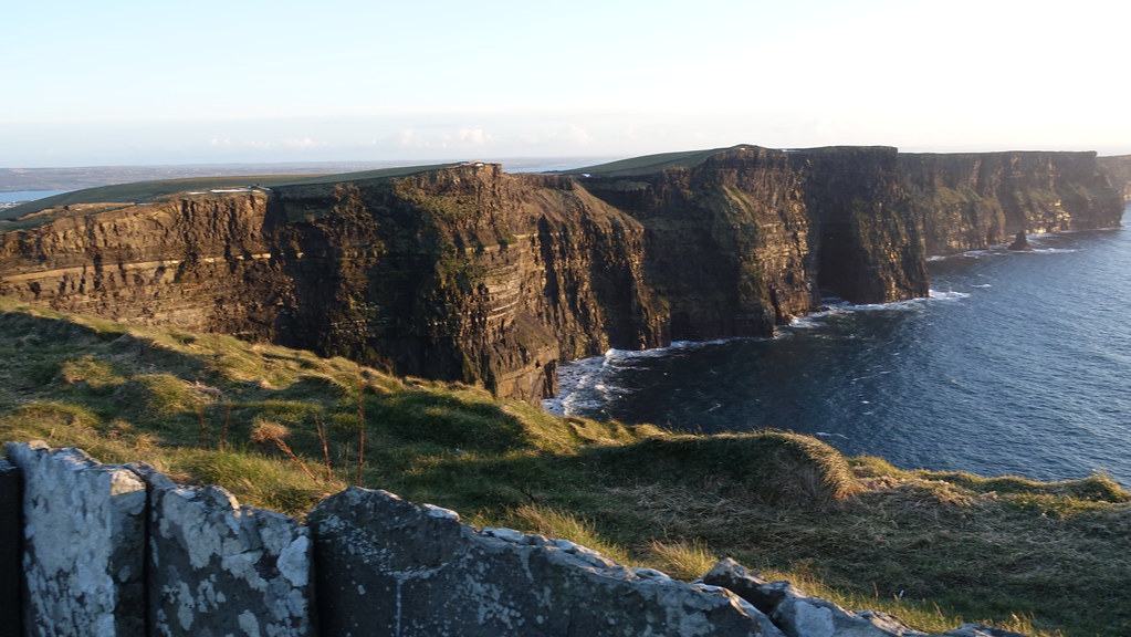 Conor's RockNamed rock · 3.5 mi