What is recorded here
No visible fort remains in Newtown because modern mapping and local memory erased the earthworks, not time. The area sits between Kilkenny College and the Golf Club, where ordinary use replaced an older boundary. A forgotten ringfort may have stood there before people stopped seeing it.
On high ground in undulating terrain with good views, in an area which has been left fallow between the sports ground of Kilkenny College to the W and the Golf Club to the E. A poorly preserved circular ringfort (diam. c. 30m). Only the SW quadrant is indicated on the 1st (1839-40) ed. OS 6-inch map, with a field boundary running NNW-SSE through the E sector and another running ENE-WSW across the N portion. During works in 1997, associated with the construction of the rugby pitch, the W portion of the enclosure was damaged and the fosse (Wth c. 5m; D c. 2m) exposed. The fosse was filled with three layers, an initial fill of clay, gravel and stones c. 1m high at centre, an old humus layer above this and an upper layer of gravel and clay. The N portion of the enclosure was visible as a slight scarp while a more considerable portion of the bank (Wth 4-6m; int. H 1m; ext. H 2.5m) survived in the S sector. The E portion which projects into the Golf Club land appears to have been levelled.
Compiled by: Jean Farrelly
Date of upload: 16 September 2020
The monument record does not grant public access. Check the route and ask the landowner before entering private land.
- What survives
- Recorded monument
Places near here
 Celbridge Househouse · 517 yd
 Jurassic NewparkHeritage attraction · 664 yd
 Newpark Marsh ParkNature reserve · 770 yd
 Enclosure in GlendineEnclosure · 861 yd
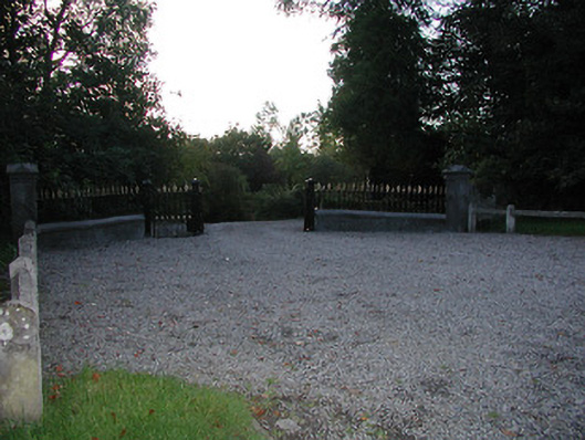 Fairviewgates/railings/walls · 900 yd
 Enclosure in NeworchardEnclosure · 1076 yd
 Kilkenny AFC & Kilkenny & District Soccer LeagueMemorial · 1148 yd
 Stephens Barracks MuseumMuseum · 1312 yd
 St. Maul's GraveyardMemorial · 1664 yd
 Black PoplarBlack Poplar · 1732 yd
 KilkennyVisitor information · 1.1 mi
 Saint Canice's Cathedral Round TowerViewpoint · 1.1 mi