What is recorded here
Fate, not fit, decided how much of the fort remains. People called it a fairy fort because the unfinished shape resisted human reason. The western half still stands with its steep scar and shallow ditch, while the eastern half vanished under a boundary line and forgetfulness. The railway cuts past the broken circle, carrying the world forward while the fort holds its shape in pasture and shadow.
In pasture, on break in NW-facing slope. Depicted as hachured circular enclosure (diam. c. 30m) on 1842 OS 6-inch map; as hachured, nearly circular raised area (diam. c. 20m) on 1905 and 1937 OS 6-inch maps. Field boundary extending N-S bisects enclosure off-centre to E. On W side of field boundary enclosure survives as raised area (diam. 20m) defined by scarp (H 1.6m) S->NNE; external fosse (D 0.6m) to SW. No visible surface trace on E side of boundary fence of remainder of enclosure; according to local information, levelled 1984. Interior slopes down to NW. Railway runs directly outside NW edge of site at a lower level.
The above description is derived from the published 'Archaeological Inventory of County Cork. Volume 4: North Cork' (Dublin: Stationery Office, 2000). In certain instances the entries have been revised and updated in the light of recent research.
Date of upload/revision: 14 January 2009
The monument record does not grant public access. Check the route and ask the landowner before entering private land.
- What survives
- Recorded monument
Places near here
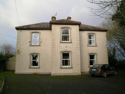 presbytery/parochial/curate's housepresbytery/parochial/curate's house · 714 yd
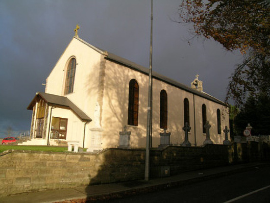 Saint Mary's Roman Catholic Churchchurch/chapel · 807 yd
 Moated site in BallycoskeryMoated site · 886 yd
 IndicatedEnclosure · 1091 yd
 Castle Harrison on Site of Castle (19*Castle, unclassified · 1442 yd
 Ardskeagh MoatCastle, motte · 1.8 mi
 CarrigeenMountain / peak · 1.8 mi
 BallinaboolaVisitor information · 2.0 mi
 Holy Cross CemeteryGraveyard · 2.6 mi
 Ballyhoura WayWalking route · 3.4 mi
 Caher HillMountain / peak · 3.5 mi
 Rogan's Rock CovertWood · 4.0 mi