What is recorded here
Fairy fort in Newtown, County Offaly, holds a raised circular area twenty-six metres wide inside an earthen bank two to three and a half metres high. The eastern edge rises higher to balance the hill slope, while a narrow western ditch and a northeast entrance gap preserve the shape of an old defended home. People may have lived there, herded animals or simply marked the land before written memory began.
Situated just off the top of a natural low hillock on the E facing slope in upland area. Raised circular area (26m E-W) enclosed by an earthen bank (ext. H 2m - 3.5m) reduced in places to a scarp and external fosse (Wth 2m; ext. D 0.5m) evident at W only with causewayed entrance gap (Wth 2.5m) at NE. E side of site is raised to compensate for hill slope.
The above description is derived from the published 'Archaeological Inventory of County Offaly' (Dublin: Stationery Office, 1997). In certain instances the entries have been revised and updated in the light of recent research.
Date of upload: 23 May 2011
The monument record does not grant public access. Check the route and ask the landowner before entering private land.
- What survives
- Recorded monument
Places near here
 Court in RuinsHouse, fortified house · 296 yd
 Enclosure in Newtown (ballybrit By.)Enclosure · 655 yd
 Drummin HillMountain / peak · 1167 yd
 IndicatedEnclosure · 1276 yd
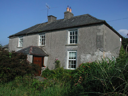 Tulla Housefarm house · 1410 yd
 Site of Tulla CastleCastle, unclassified · 1459 yd
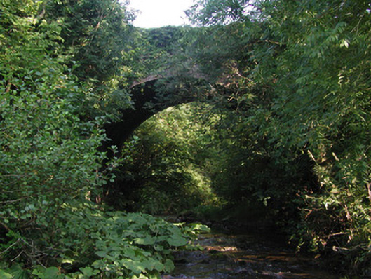 Aghagurty Bridgebridge · 1749 yd
 Cumber HillMountain / peak · 1.9 mi
 Saint Dominick's WellSpring · 2.0 mi
 Grange WoodWood · 2.1 mi
 Derrykeel WoodWood · 2.5 mi
 Saint Kieran's WellSpring · 2.6 mi