What is recorded here
Fairy fort / earthen ringfort in Newberry: single-ramparted fort, about 31m across, with a 1.2m bank and no fosse, recorded in 1934 on J. Bolster's land in a wood by the Blackwater, much overgrown. It may have been a boundary marker, a seasonal camp or a forgotten home, its shape preserved only because the river and trees kept it from ploughs. The exact spot has been lost, but the description still points to a small ring of soil where human life once turned the wood into a room.
Bowman (1934, 593) recorded single-ramparted fort (diam. c. 31m; bank H c. 1.2m) with no fosse on J. Bolster's land, ' in a wood, by the bank of the Blackwater and...very much overgrown'. Exact location not known.
The above description is derived from the published 'Archaeological Inventory of County Cork. Volume 4: North Cork' (Dublin: Stationery Office, 2000). In certain instances the entries have been revised and updated in the light of recent research.
Date of upload/revision: 14 January 2009
The monument record does not grant public access. Check the route and ask the landowner before entering private land.
- What survives
- Recorded monument
Places near here
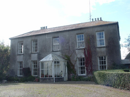 Newberry Housecountry house · 229 yd
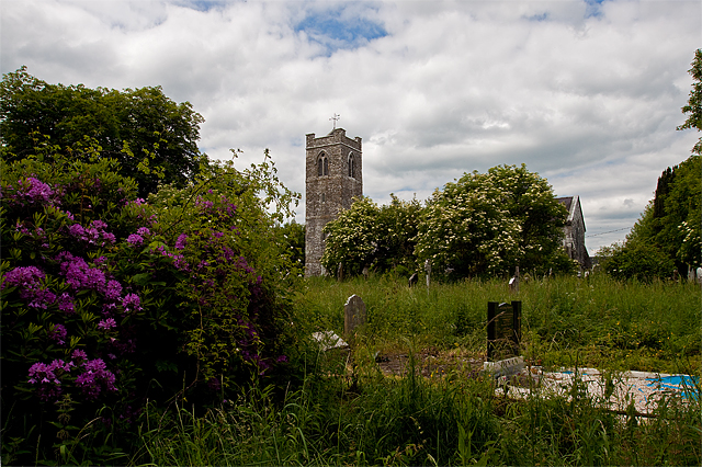 Grave YdGraveyard · 315 yd
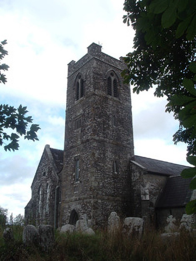 Saint Senach's Church (Kilshannig)church/chapel · 347 yd
 IndicatedFairy fort / earthen ringfort · 866 yd
 Dromaneen CastleHeritage attraction · 1585 yd
 In loving memory of Elvis O'DonoghueMemorial · 2.5 mi
 Mallow Castle RuinRuins · 3.2 mi
 Castle (Remains of)Castle, unclassified · 3.8 mi
 Graveyard in Ballygiblin (duhallow By.)Graveyard · 5.2 mi
 Mount Hillary - Knightfield LoopWalking route · 5.9 mi
 Mount Hillary - Mount Hillary LoopWalking route · 6.1 mi
 European YewEuropean Yew · 6.5 mi