What is recorded here
On a SE-facing slope in rolling terrain, under tillage. Depicted on the 1st (1840) OS 6-inch map as a roughly circular enclosure (diam. c. 28m N-S; c. 24m E-W) with an external field boundary running outside the W bank, while on the 2nd (1907) ed. the monument is marked as a curving bivallate enclosure, the E side of which appears to be truncated by a field boundary. Also on the 25-inch OS map only the western half of the monument is depicted, with an inner bank (int. diam. c. 25m), a wide fosse and an outer bank (overall diam. c. 44.5m). There is no visible remains of the monument above ground which, according to the landowner, was levelled in 1984. There is a Man-made underground passage (TS088-010002-) c. 30-40m to the NE of the ringfort.
Compiled by: Jean Farrelly
Date of upload: 27 November 2013
The monument record does not grant public access. Check the route and ask the landowner before entering private land.
- What survives
- Recorded monument
Places near here
 Enclosure in Ballynamuddagh,neddans (nagle)Enclosure · 216 yd
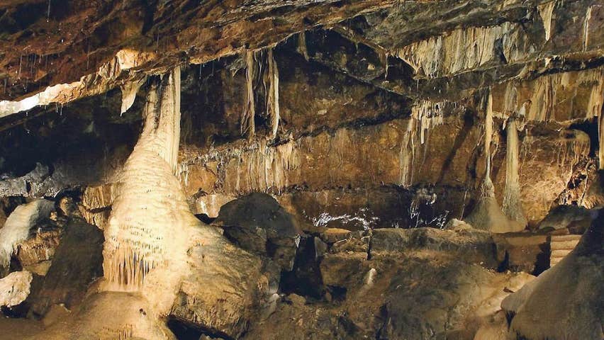 CaveMan-made underground passage · 1730 yd
 Tullaghmelan Houserectory/glebe/vicarage/curate's house · 1.3 mi
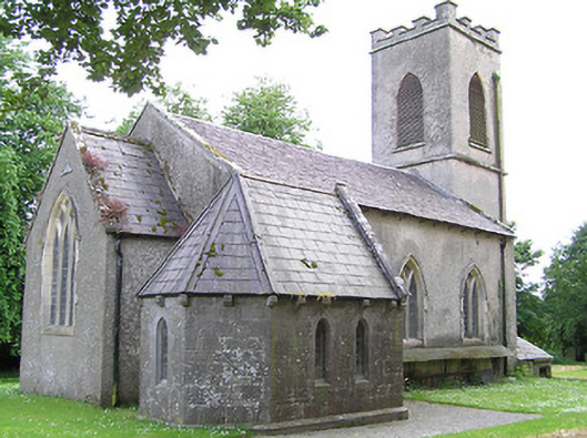 Tullaghmelan Churchchurch/chapel · 1.3 mi
 Site of Clocully CastleCastle, unclassified · 1.6 mi
 European long distance path E8 - part IrelandWalking route · 1.6 mi
 Castle, Kilmanahan CastleCastle, tower house · 1.8 mi
 Hybrid Black PoplarHybrid Black Poplar · 2.0 mi
 Deodar CedarDeodar Cedar · 2.2 mi
 Woodcock HillMountain / peak · 2.9 mi
 Roche's HillMountain / peak · 5.3 mi
 Cahir CastleHeritage attraction · 5.9 mi