What is recorded here
Situated on S-facing slope of a large ridge running E-W, in pasture, with extensive views to S and overlooked by higher ground to N. An enclosure (WM030-059----) lies c. 140m to W and a ringfort (WM030-061----) lies c. 180m to E. Depicted on the revised 1910 ed. OS 25-inch map as a trapezoidal-shaped earthwork. Monument described in 1979 as a roughly pear-shaped area (dims. 36m WNW-ESE; 33m NNW-SSE) defined by a bank and external fosse. The substantial earth and stone bank is best preserved from NNW-N-E. There are very faint traces of a fosse from E-S-W-N, but is best preserved at NNW. The perimeter has been incorporated into modern field fences from E-S-W-NW with a drain also from SW-W-NW. Field fences intersect the perimeter at E, S and NW. There are disturbance gaps in the bank at NNW, NNE, ENE and SSW, although none appear to represent the original entrance. The interior has a SE-facing slope and traces of disturbance. Monument is visible today as a roughly oval-shaped cropmark on Digital Globe aerial photography.
Compiled by Alison McQueen, Vera Rahilly and Caimin O’Brien.
Date of upload: 08 November 2019
The monument record does not grant public access. Check the route and ask the landowner before entering private land.
- What survives
- Recorded monument
Places near here
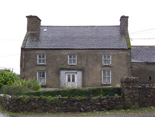 Nahod Beag Househouse · 290 yd
 IndicatedEnclosure · 440 yd
 Settlement cluster in CarnparkSettlement cluster · 540 yd
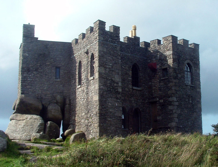 Carn CastleCastle, tower house · 727 yd
 Corpus Christi Catholic Churchchurch/chapel · 1757 yd
 CastleCastle, unclassified · 1.1 mi
 Dún na SíMuseum · 2.7 mi
 Dún na Sí Heritage CentreMuseum · 2.7 mi
 Charles BianconiMemorial · 3.4 mi
 Moate HillMountain / peak · 3.6 mi
 European ashEuropean ash · 4.8 mi